
卫星集群SOD(SCS)数据集
收藏资源简介:
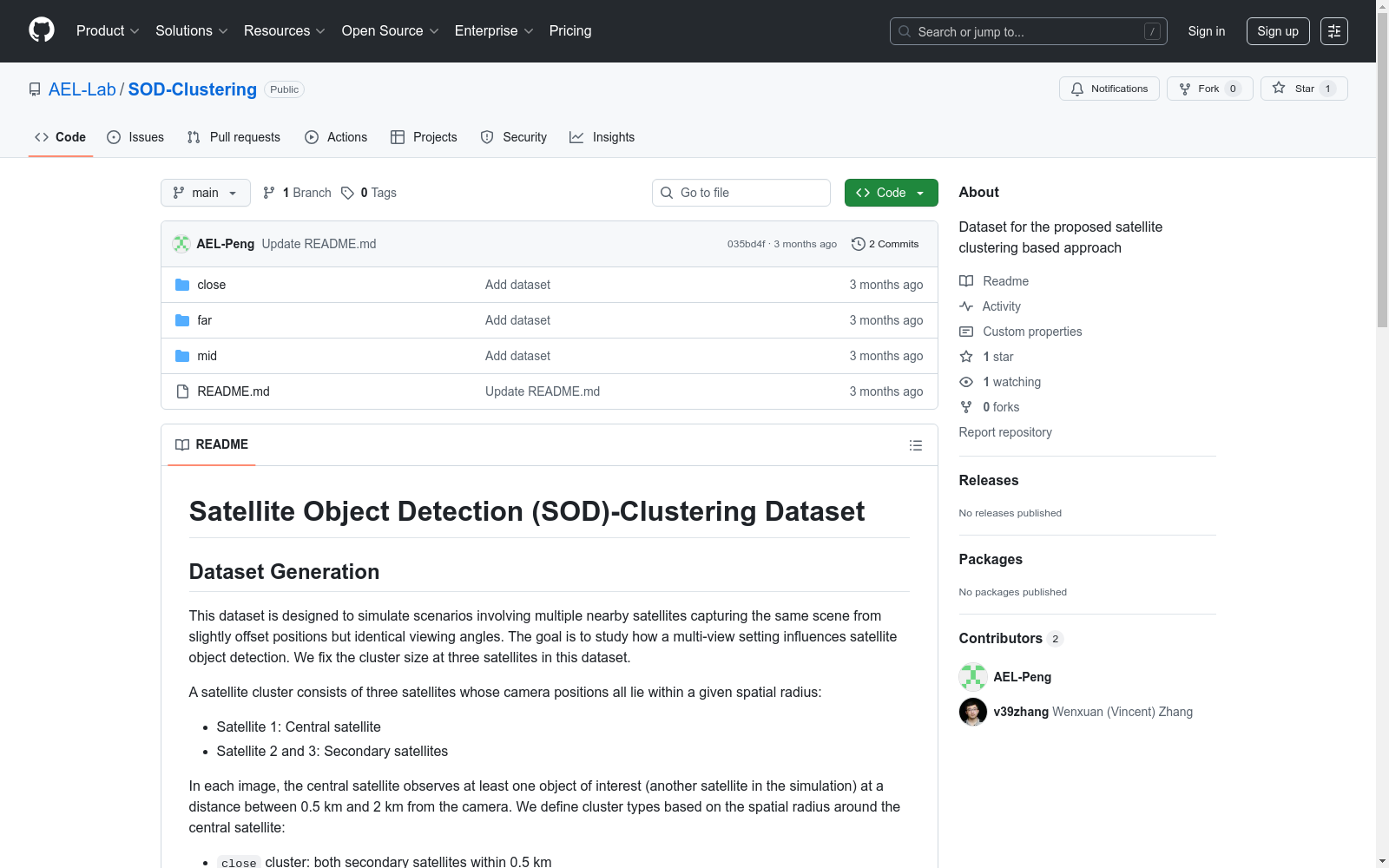
SCS数据集是一个高保真度的数据集,用于模拟集群卫星形成中的成像场景,支持基于人工智能的卫星集群解决方案。该数据集由Unity生成,模拟了一个真实的太阳系,以模拟天体和低地球轨道卫星的动态。数据集包含三个卫星捕获的图像,每个卫星从稍微不同的位置以相同的视角捕获相同的场景。数据集的创建旨在研究卫星集群对空间目标检测(SOD)的影响,并通过模拟的方式提供了一种评估分布式、人工智能驱动的轨道系统的潜力,以增强空间态势感知并促进长期的空间可持续性。
The SCS dataset is a high-fidelity dataset designed for simulating imaging scenarios in clustered satellite formations, supporting AI-powered satellite cluster solutions. It is generated via Unity, simulating a realistic Solar System to model the dynamics of celestial bodies and Low Earth Orbit (LEO) satellites. The dataset contains images captured by three satellites, where each satellite captures the same scene from slightly different positions but with an identical viewpoint. This dataset was developed to investigate the impact of satellite clusters on Space Object Detection (SOD), and provides a simulated framework for evaluating the potential of distributed, AI-driven orbital systems to enhance space situational awareness (SSA) and promote long-term space sustainability.
卫星目标检测(SOD)-聚类数据集概述
数据集生成目的
- 模拟多颗邻近卫星从轻微偏移位置但相同视角捕获同一场景的场景
- 研究多视角设置对卫星目标检测的影响
- 固定卫星簇大小为三颗卫星
卫星簇定义
- 中央卫星:Satellite 1
- 次要卫星:Satellite 2和3
- 空间半径分类:
close簇:次要卫星均在0.5公里内mid簇:次要卫星均在1公里内far簇:次要卫星均在2公里内
数据集结构
close/ ├── images/ └── labels/ mid/ ├── images/ └── labels/ far/ ├── images/ └── labels/
文件命名规范
- 中央卫星图像:
image##.jpg - 次要卫星图像:
image##_s1.jpg和image##_s2.jpg
标注文件
image##.txt:包含目标对象的边界框标注image##_full.txt:包含观测卫星和所有可见目标对象的扩展元数据
元数据描述
观测卫星元数据
- 纬度、经度和高度
- 轨道倾角
- 升交点赤经(RAAN)
目标对象元数据
- 对象ID
- 屏幕位置(图像坐标)
- 边界框标注
- 与观测卫星的距离
- 地理坐标(纬度、经度、高度)
- 轨道参数(轨道倾角、RAAN)
作者
Wenxuan Zhang和Peng Hu
许可证
Creative Commons Attribution 4.0 International (CC BY 4.0)
- 1AI-Driven Collaborative Satellite Object Detection for Space Sustainability滑铁卢大学数学学院, 曼尼托巴大学电气与计算机工程系 · 2025年


