雅鲁藏布江年楚河沿程DEM和正射影像数据集(2021)
收藏国家青藏高原科学数据中心2022-06-07 更新2024-03-01 收录
下载链接:
https://data.tpdc.ac.cn/zh-hans/data/edab5f1f-25f7-4c0c-a496-55c3743bd6f5
下载链接
链接失效反馈官方服务:
资源简介:
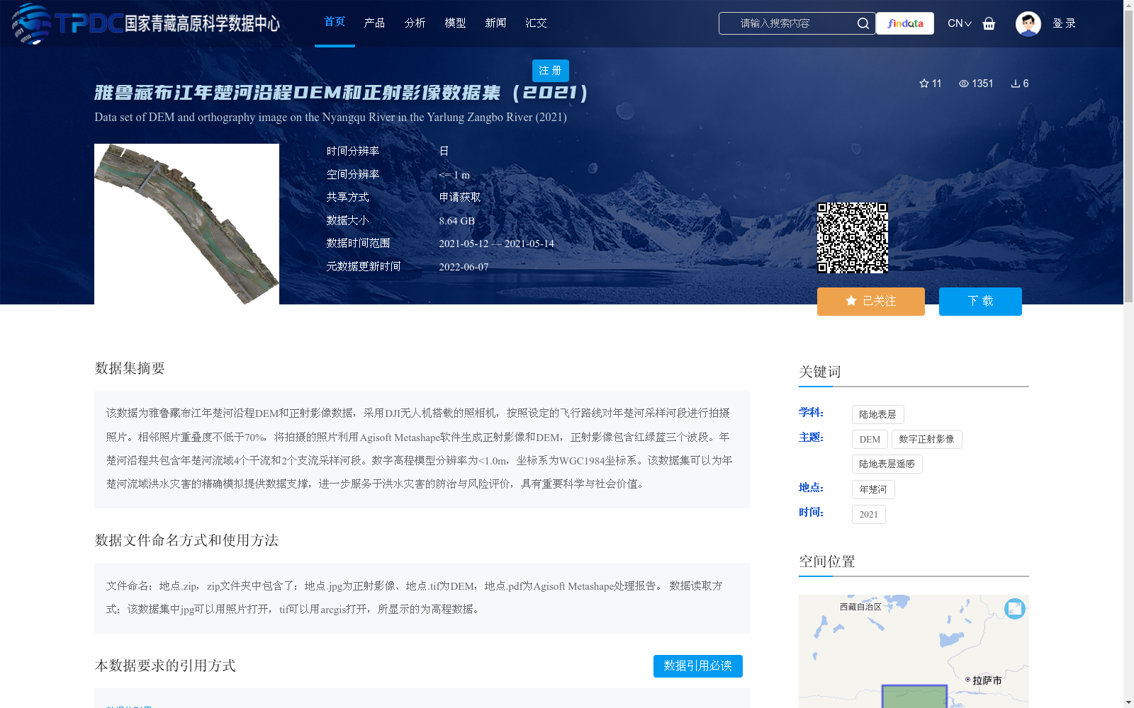
该数据为雅鲁藏布江年楚河沿程DEM和正射影像数据,采用DJI无人机搭载的照相机,按照设定的飞行路线对年楚河采样河段进行拍摄照片。相邻照片重叠度不低于70%,将拍摄的照片利用Agisoft Metashape软件生成正射影像和DEM,正射影像包含红绿蓝三个波段。年楚河沿程共包含年楚河流域4个干流和2个支流采样河段。数字高程模型分辨率为<1.0m,坐标系为WGC1984坐标系。该数据集可以为年楚河流域洪水灾害的精确模拟提供数据支撑,进一步服务于洪水灾害的防治与风险评价,具有重要科学与社会价值。
This dataset comprises along-stream digital elevation model (DEM) and orthophoto data of the Nyangchu River, a tributary of the Yarlung Tsangpo River. Photos were captured using a camera mounted on a DJI unmanned aerial vehicle (UAV) along pre-planned flight routes over the sampled reaches of the Nyangchu River, with the overlap percentage between adjacent photos being no less than 70%. The captured imagery was processed with Agisoft Metashape software to generate orthophotos and DEMs, where the orthophotos contain three spectral bands: red, green and blue. A total of 4 main stem and 2 tributary sampled reaches within the Nyangchu River basin are included in this dataset. The DEMs have a spatial resolution of less than 1.0 m and adopt the World Geodetic System 1984 (WGS 1984) coordinate system. This dataset can provide critical data support for accurate flood disaster simulation in the Nyangchu River basin, further facilitating flood prevention, control and risk assessment, and holds substantial scientific and social value.
提供机构:
马旭东,黄尔,闫旭峰,罗铭,王路
创建时间:
2022-05-22
搜集汇总
数据集介绍
背景与挑战
背景概述
该数据集为雅鲁藏布江年楚河沿程DEM和正射影像数据,采用无人机拍摄生成,包含红绿蓝三个波段的正射影像和分辨率<1.0m的DEM数据,覆盖年楚河流域4个干流和2个支流采样河段。数据集旨在为洪水灾害模拟与防治提供数据支撑,具有重要科学与社会价值。
以上内容由遇见数据集搜集并总结生成


