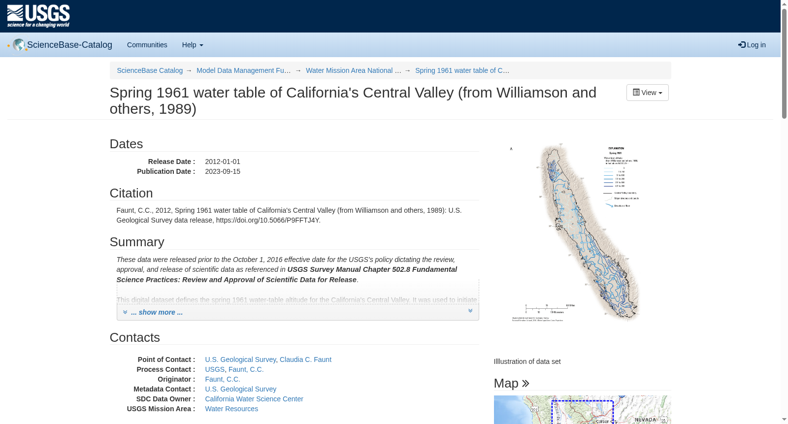
Spring 1961 water table of California's Central Valley (from Williamson and others, 1989)
收藏资源简介:
These data were released prior to the October 1, 2016 effective date for the USGS’s policy dictating the review, approval, and release of scientific data as referenced in USGS Survey Manual Chapter 502.8 Fundamental Science Practices: Review and Approval of Scientific Data for Release. This digital dataset defines the spring 1961 water-table altitude for the California's Central Valley. It was used to initiate the water-level altitudes for the upper zones of the transient hydrologic model of the Central Valley flow system. The Central Valley encompasses an approximate 50,000 square-kilometer region of California. The complex hydrologic system of the Central Valley is simulated using the USGS numerical modeling code MODFLOW-FMP (Schmid [...]
本数据集发布于2016年10月1日之前,契合美国地质调查局(USGS)《科学数据审查、批准与发布政策》,该政策详见《USGS调查手册》第502.8章《基础科学实践:科学数据发布的审查与批准》。本数字数据集明确了加利福尼亚州中央谷地1961年春季的地下水位高程,被用于初始化中央谷地水流系统瞬态水文模型上层区域的水位高程参数。中央谷地覆盖加利福尼亚州约50000平方公里的区域,其复杂的水文系统采用美国地质调查局(USGS)数值模拟代码MODFLOW-FMP(Schmid [...])进行模拟。