东汉时期行政区划基础数据
收藏国家地球系统科学数据中心2018-06-22 更新2024-03-04 收录
下载链接:
https://www.geodata.cn/data/datadetails.html?dataguid=109230036661066&docId=20297
下载链接
链接失效反馈官方服务:
资源简介:
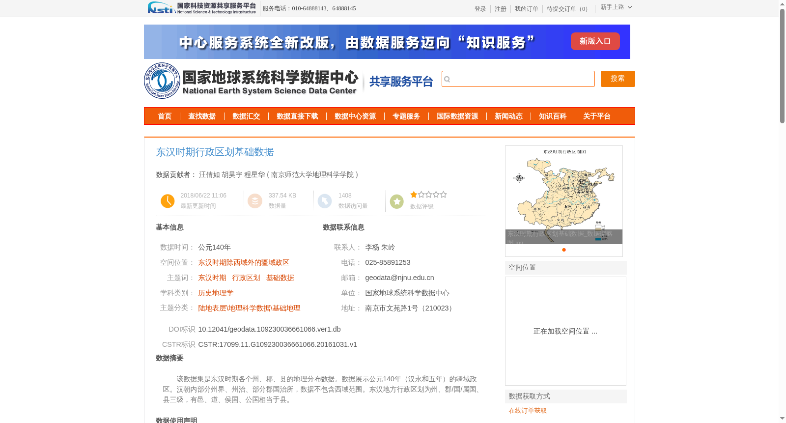
该数据集是东汉时期各个州、郡、县的地理分布数据。数据展示公元140年(汉永和五年)的疆域政区。汉朝内部分州界、州治、部分郡国治所,数据不包含西域范围。东汉地方行政区划为州、郡/国/属国、县三级,有邑、道、侯国、公国相当于县。
This dataset provides geospatial distribution data of provinces, commanderies and counties during the Eastern Han Dynasty. It depicts the territorial administrative divisions in the 5th year of the Yonghe era of the Han Dynasty, corresponding to 140 CE. The dataset records provincial boundaries, provincial administrative seats, as well as the administrative seats of some commanderies and princely fiefs within the Han territory, excluding the Western Regions. The local administrative hierarchy of the Eastern Han Dynasty adopted a three-tier system: province, commandery/princely fief/dependent state, and county. Administrative units including yi (urban settlements), dao (ethnic prefectures), marquisates and duchies were equivalent to county-level administrative divisions.
提供机构:
南京师范大学地理科学学院
创建时间:
2016-10-31
搜集汇总
数据集介绍
背景与挑战
背景概述
该数据集提供了东汉时期(公元140年)的行政区划基础数据,涵盖除西域外的疆域政区,包括州、郡/国/属国、县三级地理分布。数据基于《中国历史地图集》的印刷地图进行地理配准和数字化拼接生成,空间投影为WGS84,适用于历史地理学研究。
以上内容由遇见数据集搜集并总结生成


