基于青藏高原土壤温湿度观测网的长时序地表土壤湿度数据集(2009-2019)
收藏国家青藏高原科学数据中心2022-10-14 更新2024-03-01 收录
下载链接:
https://data.tpdc.ac.cn/zh-hans/data/d323f0b2-dada-4ed5-aa00-57564da788d2
下载链接
链接失效反馈官方服务:
资源简介:
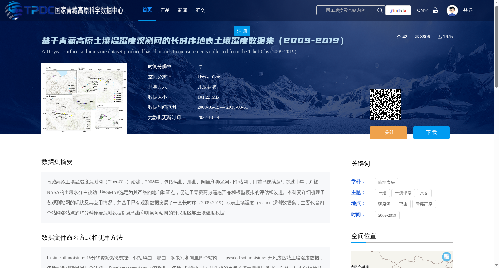
青藏高原土壤温湿度观测网(Tibet-Obs)始建于2008年,包括玛曲、那曲、阿里和狮泉河四个站网,目前已连续运行超过十年,并被NASA的土壤水分主被动卫星SMAP选定为其产品的地面验证点,促进了青藏高原遥感产品和模型模拟的评估和改进。本研究详细梳理了各观测站网的现状及其应用情况,并基于已有观测数据发展了一套长时序(2009-2019)地表土壤湿度(5 cm)观测数据集,主要包含四个站网各站点的15分钟原始观测数据以及玛曲和狮泉河站网的升尺度区域土壤湿度数据。
The Tibetan Plateau Soil Temperature and Moisture Observation Network (Tibet-Obs) was established in 2008, encompassing four observation networks based in Maqu, Nagqu, Ngari, and Shiquanhe. It has been operating continuously for more than a decade, and has been selected by NASA's Soil Moisture Active Passive (SMAP) satellite as ground validation sites for its satellite products, thereby promoting the evaluation and refinement of remote sensing products and model simulations over the Tibetan Plateau. This study comprehensively reviewed the current status and application scenarios of each observation network, and developed a long-term (2009–2019) in-situ surface soil moisture (measured at 5 cm depth) observation dataset based on existing observational data. The dataset primarily contains 15-minute raw observational data from each site across the four networks, alongside upscaled regional soil moisture data from the Maqu and Shiquanhe observation networks.
提供机构:
张佩,郑东海,文军,曾亦键,王欣,王作亮,马耀明,苏中波
创建时间:
2021-07-15
搜集汇总
数据集介绍
背景与挑战
背景概述
该数据集是基于青藏高原土壤温湿度观测网(Tibet-Obs)2009-2019年的观测数据,包含四个站网的15分钟原始观测数据和两个站网的升尺度区域土壤湿度数据,时间分辨率为15分钟,空间分辨率为1km至10km,适用于土壤湿度和水文研究。
以上内容由遇见数据集搜集并总结生成


