广东省1:100万土壤类型图(2018年)
收藏资源简介:
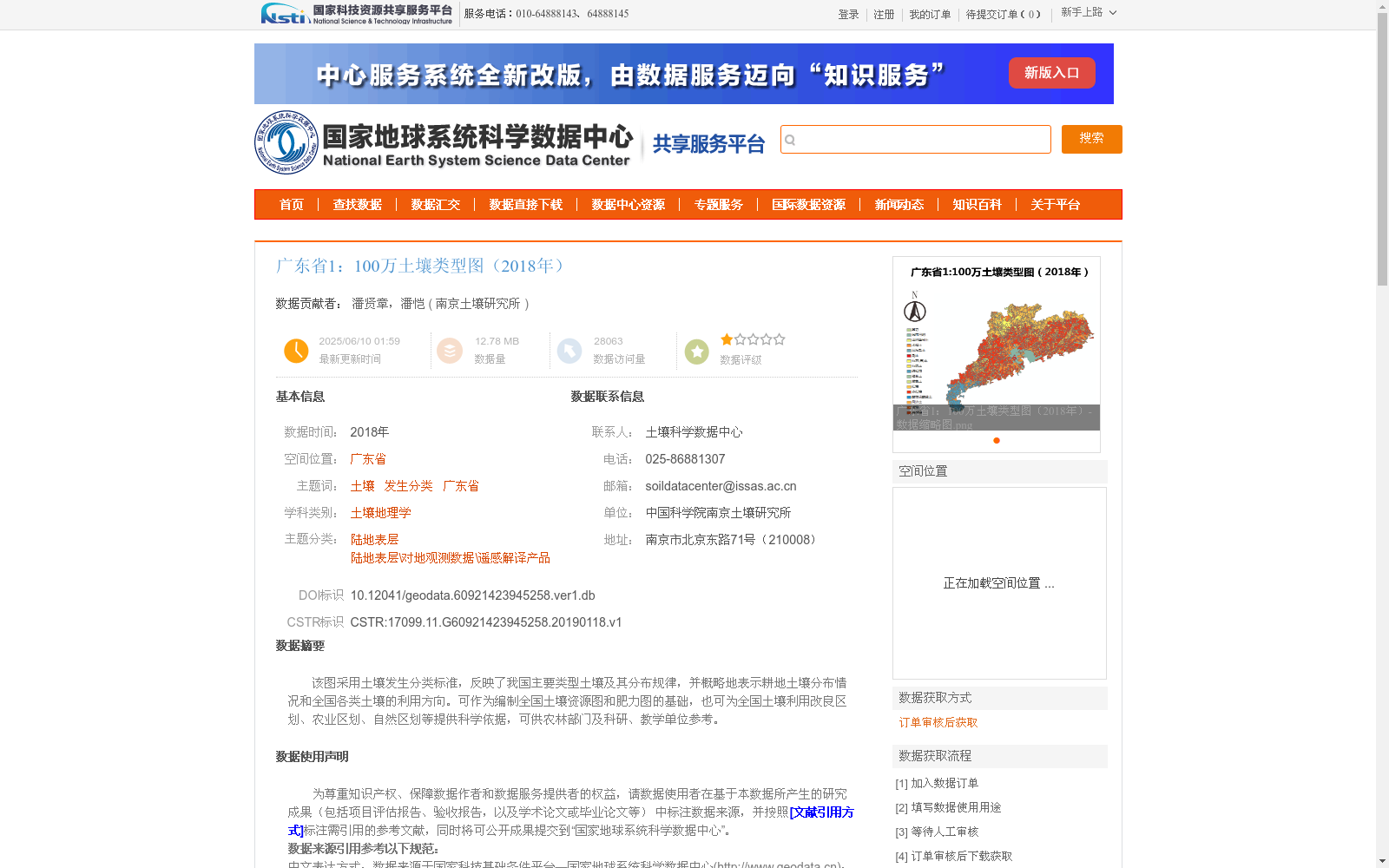
该图采用土壤发生分类标准,反映了我国主要类型土壤及其分布规律,并概略地表示耕地土壤分布情况和全国各类土壤的利用方向。可作为编制全国土壤资源图和肥力图的基础,也可为全国土壤利用改良区划、农业区划、自然区划等提供科学依据,可供农林部门及科研、教学单位参考。
This map adopts the soil genetic classification standard, which presents the major soil types in China and their spatial distribution rules, and schematically illustrates the distribution of arable soils and the utilization orientations of all soil types nationwide. It can serve as the foundational resource for compiling national soil resource maps and soil fertility maps, further providing scientific support for national soil utilization and improvement zoning, agricultural regionalization, natural regionalization and other relevant planning works, and is available for reference by agricultural and forestry authorities, research institutions and educational establishments.