青藏高原东北缘1:25万地质图(2023)
收藏国家青藏高原科学数据中心2024-04-16 更新2024-05-06 收录
下载链接:
https://data.tpdc.ac.cn/zh-hans/data/b892b873-05d9-41cb-8c6d-ff019d8d4d25
下载链接
链接失效反馈官方服务:
资源简介:
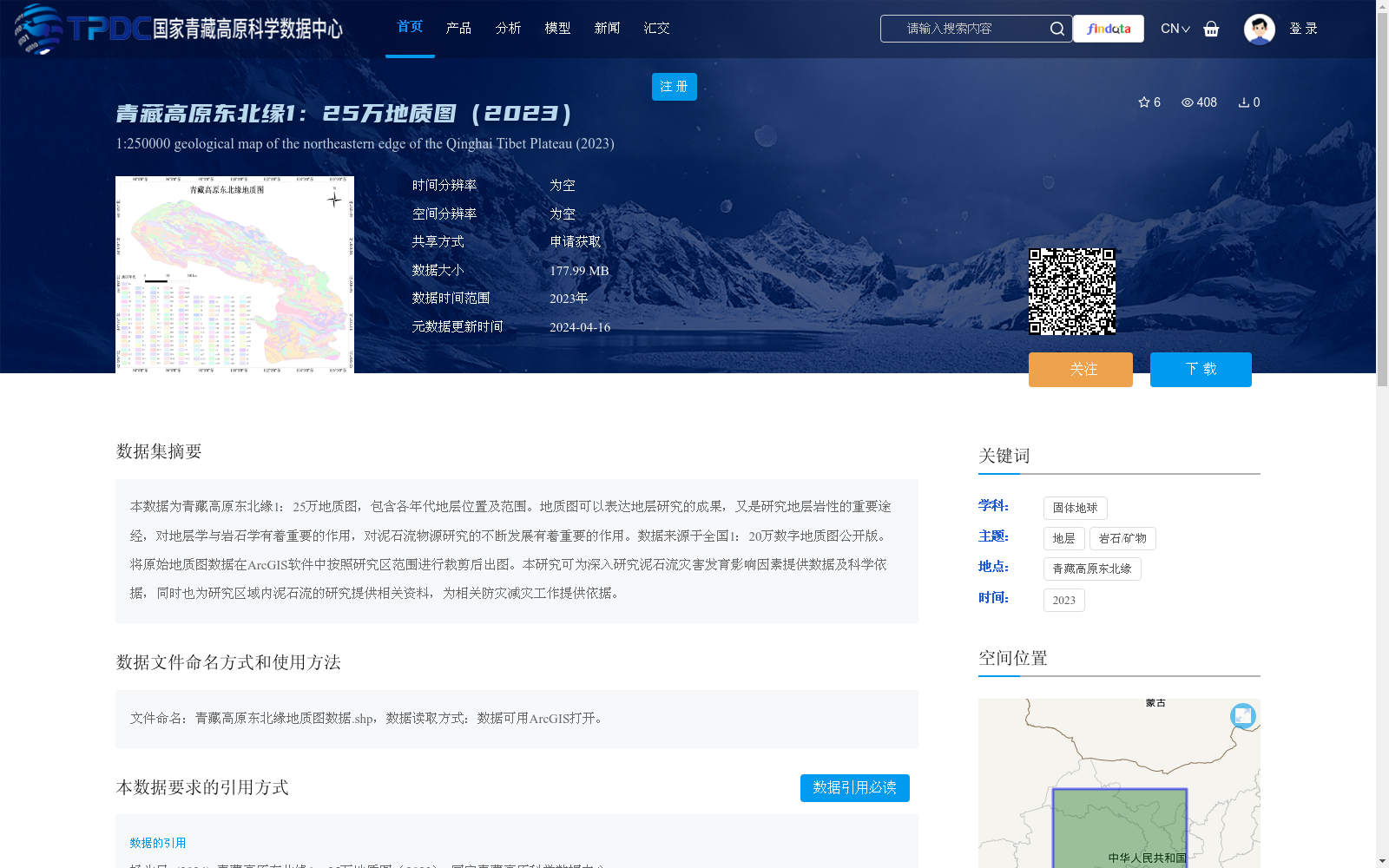
本数据为青藏高原东北缘1:25万地质图,包含各年代地层位置及范围。地质图可以表达地层研究的成果,又是研究地层岩性的重要途经,对地层学与岩石学有着重要的作用,对泥石流物源研究的不断发展有着重要的作用。数据来源于全国1:20万数字地质图公开版。将原始地质图数据在ArcGIS软件中按照研究区范围进行裁剪后出图。本研究可为深入研究泥石流灾害发育影响因素提供数据及科学依据,同时也为研究区域内泥石流的研究提供相关资料,为相关防灾减灾工作提供依据。
This dataset is a 1:250,000-scale geological map of the northeastern margin of the Qinghai-Tibet Plateau, which covers the locations and extents of strata of all geological ages. Geological maps not only present the research outcomes of stratigraphy, but also serve as a key approach to studying stratigraphic lithology, playing a vital role in both stratigraphy and petrology, as well as facilitating the continuous advancement of debris flow provenance research. The data is sourced from the public version of the national 1:200,000-scale digital geological map. The raw geological map data was cropped to the study area boundary using ArcGIS software to produce the final map. This study provides data and scientific support for in-depth investigations into the influencing factors of debris flow disaster development, offers relevant reference materials for regional debris flow research, and provides a basis for related disaster prevention and mitigation work.
提供机构:
杨为民
创建时间:
2024-01-02
搜集汇总
数据集介绍
背景与挑战
背景概述
该数据集是2023年发布的青藏高原东北缘1:25万地质图,包含地层位置及范围信息,适用于泥石流灾害研究和地质学分析。数据来源于全国1:20万数字地质图,经ArcGIS处理,覆盖东经93.47°至107°,北纬31.78°至40.47°区域。
以上内容由遇见数据集搜集并总结生成


