
Mapillary街景图像全球道路表面数据集
收藏资源简介:
Mapillary街景图像全球道路表面数据集是由海德堡地理信息技术研究所 (HeiGIT) 创建的,基于Mapillary平台上的105百万张街景图像,利用先进的地球空间人工智能方法生成的全球道路表面特征(铺砌或未铺砌)数据集。该数据集包含104,523,781张图像,覆盖全球范围,旨在通过深度学习方法提高道路表面信息的可用性。数据集的创建过程包括图像下载、预处理、深度学习模型训练和数据标注等步骤。该数据集主要应用于城市规划、灾难路径规划、物流优化等领域,支持实现可持续发展目标(SDGs)。
The Global Road Surface Dataset based on Mapillary Street View Images was created by the Heidelberg Institute for Geoinformation Technology (HeiGIT). It is generated using advanced geospatial artificial intelligence methods from 105 million street view images on the Mapillary platform, focusing on global road surface features (paved or unpaved). This dataset contains 104,523,781 images covering the entire globe, aiming to improve the availability of road surface information via deep learning methods. The construction process of this dataset includes steps such as image downloading, preprocessing, deep learning model training and data annotation. This dataset is mainly applied in fields such as urban planning, disaster route planning, logistics optimization, and supports the achievement of Sustainable Development Goals (SDGs).
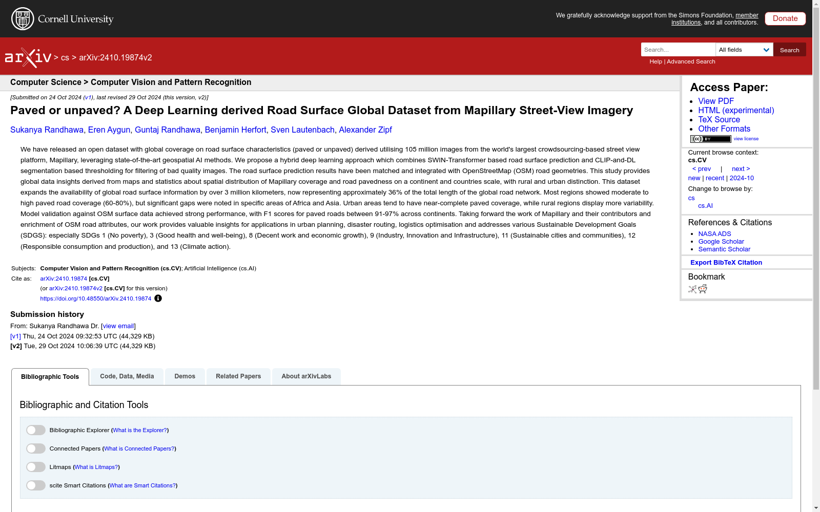
- 1Paved or unpaved? A Deep Learning derived Road Surface Global Dataset from Mapillary Street-View Imagery海德堡地理信息技术研究所 (HeiGIT) · 2024年


