南京Landsat8遥感影像数据集(2016年)
收藏国家地球系统科学数据中心2022-06-10 更新2024-04-21 收录
下载链接:
https://www.geodata.cn/data/datadetails.html?dataguid=11796702241332&docId=8286
下载链接
链接失效反馈官方服务:
资源简介:
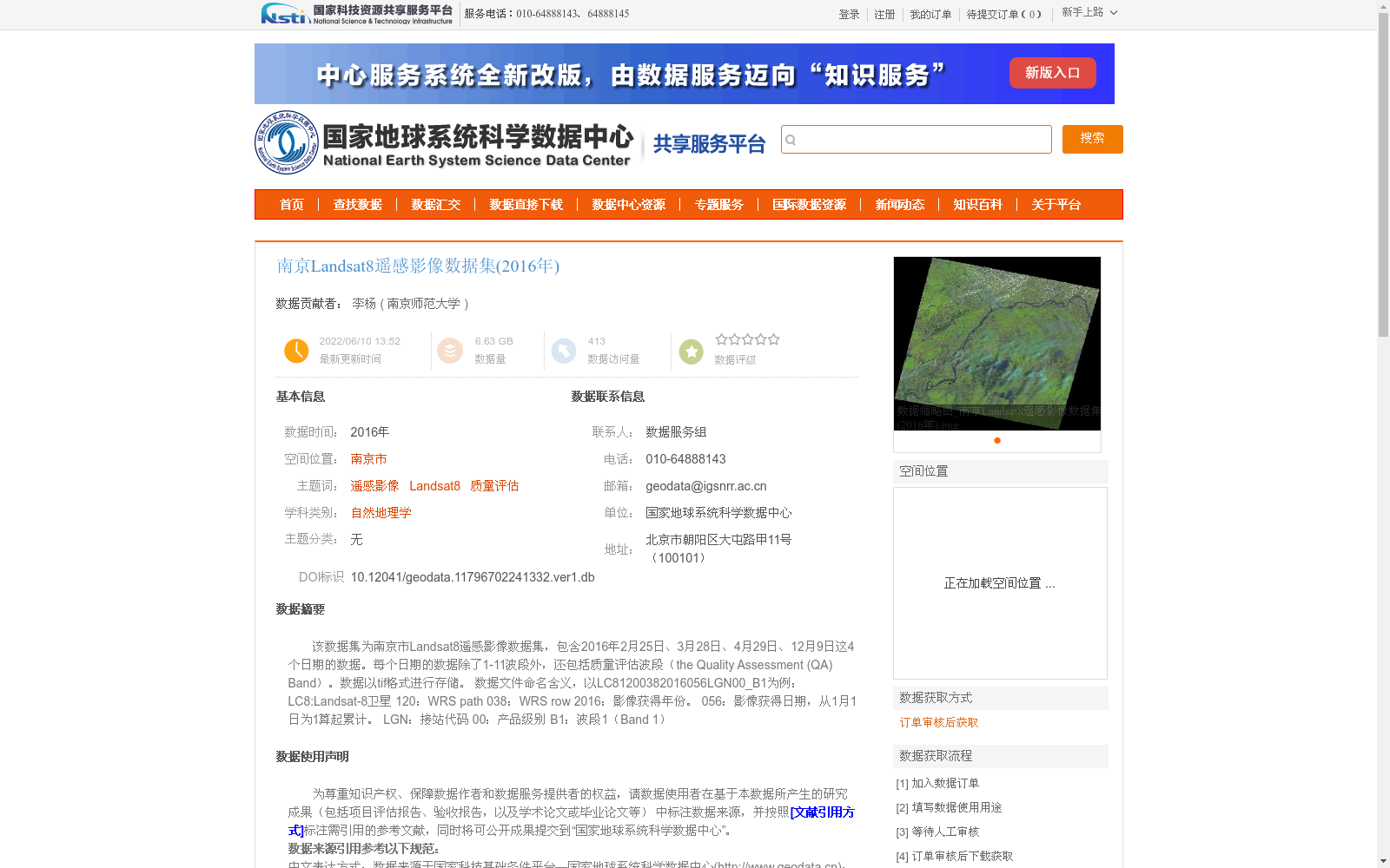
该数据集为南京市Landsat8遥感影像数据集,包含2016年2月25日、3月28日、4月29日、12月9日这4个日期的数据。每个日期的数据除了1-11波段外,还包括质量评估波段(the Quality Assessment (QA) Band)。数据以tif格式进行存储。
数据文件命名含义,以LC81200382016056LGN00_B1为例:
LC8:Landsat-8卫星
120:WRS path
038:WRS row
2016:影像获得年份。
056:影像获得日期,从1月1日为1算起累计。
LGN:接站代码
00:产品级别
B1:波段1(Band 1)
This dataset is the Nanjing City Landsat 8 remote sensing imagery dataset, containing data from four dates: February 25, 2016, March 28, 2016, April 29, 2016, and December 9, 2016. For each date, the dataset includes Bands 1 through 11 as well as the Quality Assessment (QA) Band. All data is stored in TIFF format.
The meaning of the data file naming convention is explained below, taking LC81200382016056LGN00_B1 as an example:
- LC8: Landsat-8 satellite
- 120: WRS path
- 038: WRS row
- 2016: Year of image acquisition
- 056: Cumulative day count with January 1 counted as day 1, representing the image acquisition date
- LGN: Ground station receiving code
- 00: Product level
- B1: Band 1
提供机构:
南京师范大学
创建时间:
2022-06-10
搜集汇总
数据集介绍
背景与挑战
背景概述
该数据集是2016年南京市区域的Landsat8遥感影像集合,包含2月25日、3月28日、4月29日和12月9日四个日期的数据,每个日期提供1-11波段及质量评估波段,以tif格式存储。数据来源于地理空间数据云,经过人工核查,精度可靠,适用于自然地理学等领域的遥感分析和质量评估研究。
以上内容由遇见数据集搜集并总结生成


