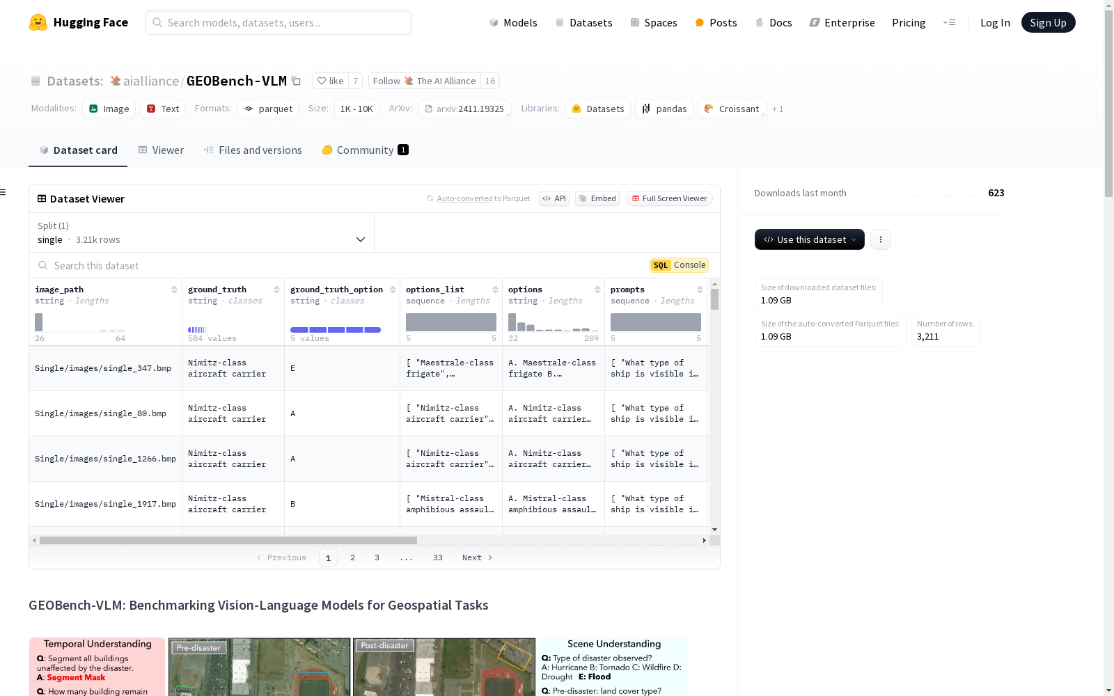
GEOBench-VLM
收藏资源简介:
GEOBench-VLM是一个综合性的基准测试数据集,专门用于评估视觉语言模型在地理空间任务中的表现。它包含超过10,000个手动验证的指令,涵盖了多种视觉条件、对象类型和尺度。数据集分为多个子集,每个子集对应不同的任务,如场景理解、对象计数、定位、细粒度分类和时间分析。每个子集包含图像和相关问题,以及对应的答案。数据集的结构包括图像路径、问题ID、任务类型、提示、选项、正确答案等字段。
GEOBench-VLM: Benchmarking Vision-Language Models for Geospatial Tasks
概述
GEOBench-VLM 是一个专门为评估视觉语言模型(VLM)在地理空间任务中的表现而设计的综合基准。该基准旨在解决现有通用 VLM 基准在处理地理空间数据复杂性方面的不足,特别是在环境监测、城市规划和灾害管理等应用中的需求。
数据集结构
数据集文件夹
数据集包含多个文件夹,每个文件夹代表一个特定的子集或任务:
GEOBench-VLM/Single: 包含需要单张图像作为输入的图像和对应问题。GEOBench-VLM/Temporal: 包含专注于时间理解任务的图像和问题。GEOBench-VLM/Ref-Det: 包含与引用表达检测任务相关的图像和问题。GEOBench-VLM/Ref-Seg: 包含与引用表达分割任务相关的图像和问题。GEOBench-VLM/Captioning: 包含与字幕任务相关的图像和问题。
每个文件夹都有自己的 qa.json 文件,提供与图像和答案相关的问题。
数据实例
一个 question 的示例如下:
json
{
"image_path": "images/single_347.bmp",
"ground_truth": "Nimitz-class aircraft carrier",
"ground_truth_option": "E",
"options_list": [
"Maestrale-class frigate",
"Murasame-class destroyer",
"Mega yacht",
"Kitty Hawk-class aircraft carrier",
"Nimitz-class aircraft carrier"
],
"options": "A. Maestrale-class frigate B. Murasame-class destroyer C. Mega yacht D. Kitty Hawk-class aircraft carrier E. Nimitz-class aircraft carrier",
"prompts": [
"What type of ship is visible in this image?",
"Which class or category does the identified vessel belong to?",
"What is the primary role or purpose of the ship in this image?",
"Which specific type of military or civilian ship is shown in the scene?",
"What class of naval or transport vessel is depicted in the given image?"
],
"task": "Ship Type Classification",
"image_name": "single_347.bmp",
"question_id": 0,
"cls_description": ""
}
数据字段
数据字段包括:
image_path: 与问题对应的图像的相对路径。file_name: 图像文件的名称。question_id: 每个问题的唯一标识符。task: 特定的细粒度任务。prompts: 与问题相关的多个提示列表。options: 五个多选答案,格式为单个字符串。options_list: 包含各个选项的 Python 列表。ground_truth: 问题的正确答案。ground_truth_option: 正确答案的索引或标签。cls_description: 提示中使用的类或术语的附加详细信息。