2010-2017 China's methane emissions inferred from an inversion of satellite and surface observations
收藏DataCite Commons2025-04-27 更新2025-05-18 收录
下载链接:
https://www.scidb.cn/detail?dataSetId=04e7d3c5658d468e833496c713178f89
下载链接
链接失效反馈官方服务:
资源简介:
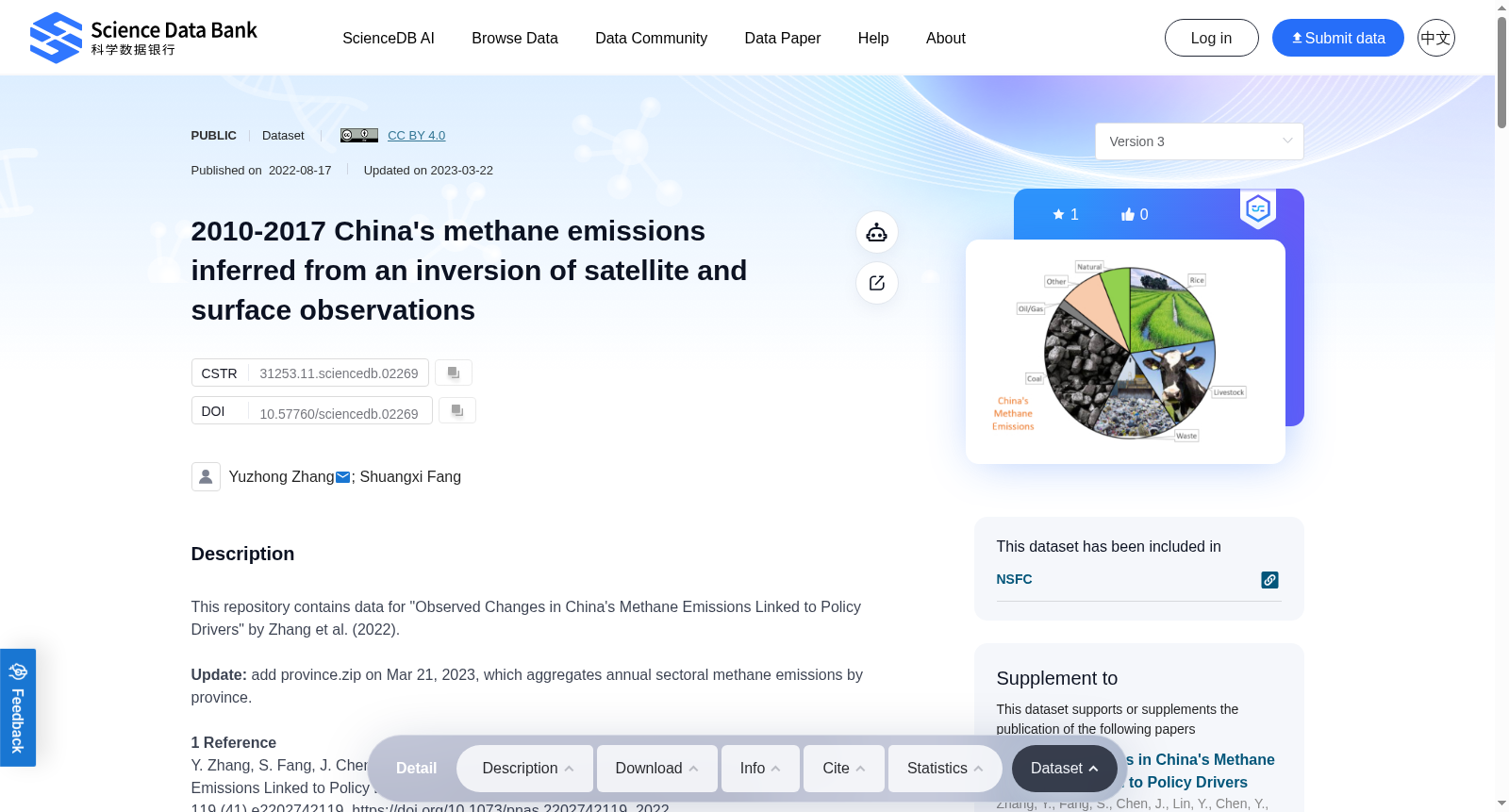
This repository contains data for "Observed Changes in China's Methane Emissions Linked to Policy Drivers" by Zhang et al. (2022).Update: add province.zip on Mar 21, 2023, which aggregates annual sectoral methane emissions by province.1 ReferenceY. Zhang, S. Fang, J. Chen, Y. Lin, Y. Chen, R. Liang, et al., Observed Changes in China's Methane Emissions Linked to Policy Drivers, Proceedings of the National Academy of Sciences, 119 (41) e2202742119, https://doi.org/10.1073/pnas.2202742119, 2022.2 Data filesChina_inversion_Obs_*.nc tabulate satellite and surface observations that are assimilated in the inversion. "*" can be GOSAT (satellite column, https://doi.org/10.5285/18ef8247f52a4cb6a14013f8235cc1eb), CMA (the China Meteorology Administration network, surface in situ), and WDCGG (the World Data Centre for Greenhouse Gases archival, surface in situ, https://gaw.kishou.go.jp). Simulated values (GEOS-Chem, E1) are listed for comparison.China_inversion_Flux_*.nc report monthly prior and posterior sectoral methane emission fluxes on a 0.5°x0.625° grid over East Asia (60°E-145°E, 15°W-55°W) between 2010-2017. "*" represents ensemble members (see "Inversion Ensemble" below) or the ensemble mean. See also "Inversion setup" and "Emission Sectors" for more information to understand the reported flux data.China_inversion_PBU_Rice-Aquaculture.xlsx tabulate the provincial-level bottom-up (PBU) calculation of methane emissions from rice cultivation and freshwater aquaculture in China. The activity data are from the statistical yearbook and calculations are performed at the provincial level.province.zip include csv files for 2010-2017. The csv files report annual prior and posterior sectoral methane emission fluxes aggregated by province. The unit for these files is Tg CH4/year. (added on Mar 21, 2023)3 Inversion EnsembleThe ensemble includes 4 members using different prior anthropogenic emission inventories. Results for each member as well as the ensemble mean are reported in separate files.E1: EDGAR v4.3.2 for 2012 with coal in China replaced by Sheng et al., 2019E2: PKU_CH4 v2 2010–2017E3: EDGAR v5.0 2010–2015E4: CEDS v2021-04-214 Emission Sectorsoil, gas, coal, livestock, rice, landfills, wastewater, wetlands, biomass burning (BiomassBurn), termites, seeps, and other anthropogenic (OtherAnth).5 Inversion setupThe inversion is performed on 600 spatial groups of varied sizes over the East Asia domain to optimize their 2010-2017 mean, annual anomalies, and seasonal anomalies. East Asia nested version of the GEOS-Chem chemical transport model (0.5°x0.625°) is used as the forward model for the inversion. Sector attribution of posterior fluxes is based on prior sectoral fractions for individual grid cells. See the reference for more information on the methodology.6 ContactYuzhong Zhang (zhangyuzhong@westlake.edu.cn); Shuangxi Fang (fangsx@zjut.edu.cn)7 FundingNational Key Research and Development Program of China (2020YFA0607502)National Natural Science Foundation of China (42007198).
提供机构:
Science Data Bank
创建时间:
2022-08-17
搜集汇总
数据集介绍
背景与挑战
背景概述
该数据集基于卫星和地面观测反演,提供了2010-2017年中国甲烷排放的详细数据,包括月度和年度排放通量,并细分到省级和多个排放部门(如石油、天然气、煤炭等)。数据用于分析中国甲烷排放变化与政策驱动因素的关联,支持温室气体研究和环境政策评估。
以上内容由遇见数据集搜集并总结生成


