中国红树林树种空间分布数据集
收藏地球大数据科学工程2024-06-22 收录
下载链接:
https://data.casearth.cn/sdo/detail/66716ad7819aec0d5564be71
下载链接
链接失效反馈官方服务:
资源简介:
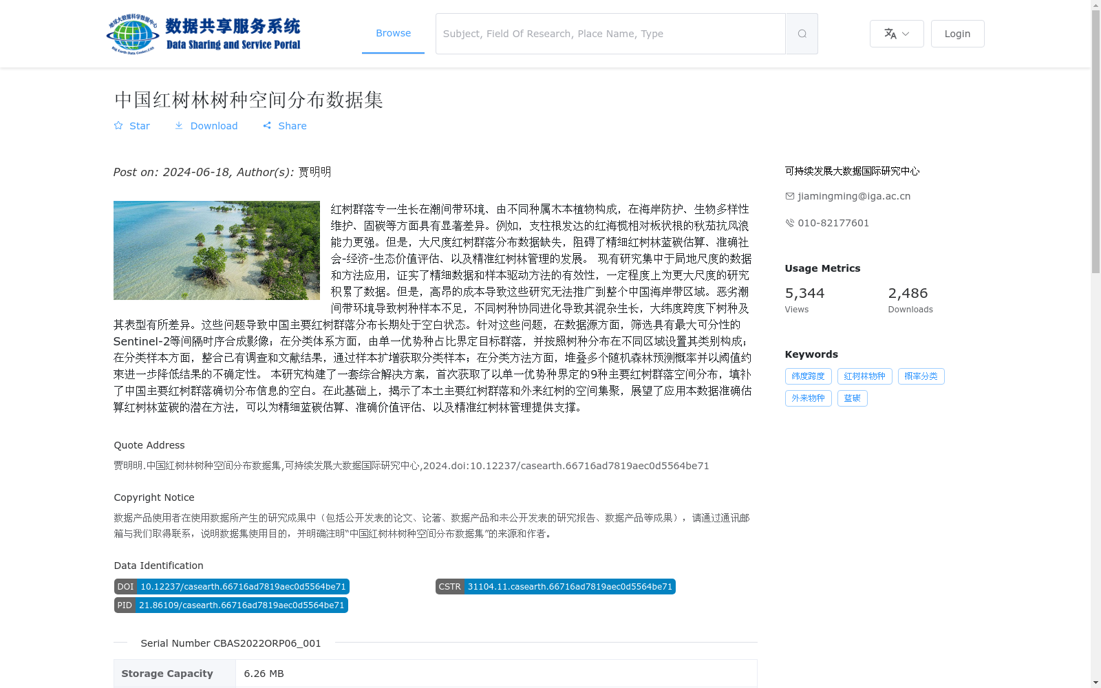
红树群落专一生长在潮间带环境、由不同种属木本植物构成,在海岸防护、生物多样性维护、固碳等方面具有显著差异。例如,支柱根发达的红海榄相对板状根的秋茄抗风浪能力更强。但是,大尺度红树群落分布数据缺失,阻碍了精细红树林蓝碳估算、准确社会-经济-生态价值评估、以及精准红树林管理的发展。
现有研究集中于局地尺度的数据和方法应用,证实了精细数据和样本驱动方法的有效性,一定程度上为更大尺度的研究积累了数据。但是,高昂的成本导致这些研究无法推广到整个中国海岸带区域。恶劣潮间带环境导致树种样本不足,不同树种协同进化导致其混杂生长,大纬度跨度下树种及其表型有所差异。这些问题导致中国主要红树群落分布长期处于空白状态。针对这些问题,在数据源方面,筛选具有最大可分性的Sentinel-2等间隔时序合成影像;在分类体系方面,由单一优势种占比界定目标群落,并按照树种分布在不同区域设置其类别构成;在分类样本方面,整合已有调查和文献结果,通过样本扩增获取分类样本;在分类方法方面,堆叠多个随机森林预测概率并以阈值约束进一步降低结果的不确定性。
本研究构建了一套综合解决方案,首次获取了以单一优势种界定的9种主要红树群落空间分布,填补了中国主要红树群落确切分布信息的空白。在此基础上,揭示了本土主要红树群落和外来红树的空间集聚,展望了应用本数据准确估算红树林蓝碳的潜在方法,可以为精细蓝碳估算、准确价值评估、以及精准红树林管理提供支撑。
Mangrove communities, which exclusively grow in intertidal zones and are composed of woody plants from various genera and species, exhibit significant differences in coastal protection, biodiversity conservation, carbon sequestration and other aspects. For example, Rhizophora stylosa with well-developed prop roots has stronger wave and wind resistance than Kandelia obovata with buttress roots. However, the lack of large-scale mangrove community distribution data has hindered the development of fine-scale mangrove blue carbon estimation, accurate socio-economic-ecological value assessment, and precision mangrove management.
Existing studies have focused on the application of data and methods at local scales, confirming the effectiveness of fine-scale data and sample-driven approaches, and have accumulated data to a certain extent for larger-scale research. However, the high costs prevent these studies from being scaled up to the entire coastal zone of China. Harsh intertidal environments lead to insufficient tree species samples, co-evolution among different tree species results in their mixed growth, and tree species and their phenotypes vary across large latitudinal gradients. These issues have long left the distribution of major mangrove communities in China uncharacterized.
To address these issues, we took the following measures: For data sources, we screened Sentinel-2 equidistant time-series composite imagery with maximum separability; For the classification system, target communities were defined by the proportion of a single dominant species, and their category compositions were set according to tree species distributions in different regions; For classification samples, we integrated existing surveys and literature results, and obtained classification samples via sample augmentation; For classification methods, we stacked multiple random forest prediction probabilities and constrained with thresholds to further reduce the uncertainty of the results.
This study developed a comprehensive solution, and for the first time obtained the spatial distribution of 9 major mangrove communities defined by a single dominant species, filling the gap in accurate distribution information of major mangrove communities in China. On this basis, we revealed the spatial aggregation of native major mangrove communities and introduced mangrove species, and prospected potential methods for accurately estimating mangrove blue carbon using this dataset, which can provide support for fine-scale blue carbon estimation, accurate value assessment, and precision mangrove management.
提供机构:
可持续发展大数据国际研究中心
搜集汇总
数据集介绍
背景与挑战
背景概述
该数据集首次提供了中国以单一优势种界定的9种主要红树群落空间分布,填补了长期空白。它基于2020年Sentinel-2遥感影像,利用大数据和机器学习方法实现高精度(95%)提取,旨在支持精细蓝碳估算、价值评估和红树林精准管理。
以上内容由遇见数据集搜集并总结生成


