
Training data for: CoastSat image classification
收藏Mendeley Data2024-01-31 更新2024-06-27 收录
下载链接:
https://zenodo.org/record/3334147
下载链接
链接失效反馈官方服务:
资源简介:
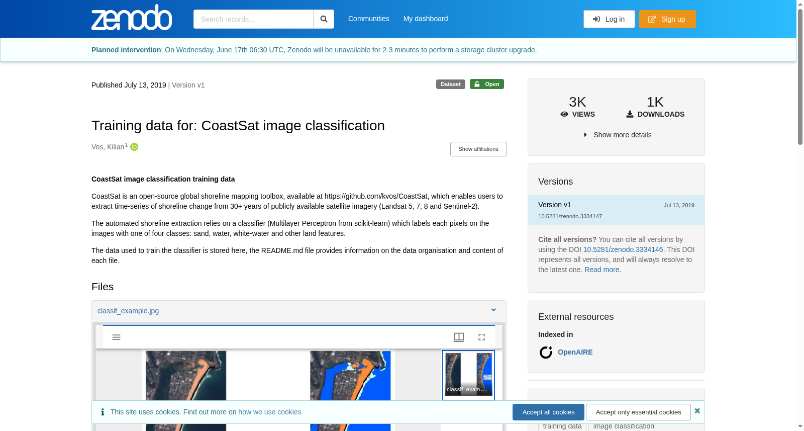
CoastSat image classification training data CoastSat is an open-source global shoreline mapping toolbox, available at https://github.com/kvos/CoastSat, which enables users to extract time-series of shoreline change from 30+ years of publicly available satellite imagery (Landsat 5, 7, 8 and Sentinel-2). The automated shoreline extraction relies on a classifier (Multilayer Perceptron from scikit-learn) which labels each pixels on the images with one of four classes: sand, water, white-water and other land features. The data used to train the classifier is stored here, the README.md file provides information on the data organisation and content of each file.
CoastSat图像分类训练数据集
CoastSat是一款开源的全球海岸线测绘工具箱,其开源仓库地址为https://github.com/kvos/CoastSat。该工具可支持用户从30余年的公开卫星影像(陆地卫星Landsat 5、7、8及哨兵二号Sentinel-2)中提取海岸线变化的时间序列数据。其自动化海岸线提取流程依托一款分类器实现——该分类器为scikit-learn库中的多层感知器(Multilayer Perceptron),可将图像中的每个像素标注为四类标签之一:沙地、水体、白浪及其他陆地地物。用于训练该分类器的数据集存储于此,其配套的README.md文件详细说明了数据的组织形式与各文件的具体内容。
创建时间:
2024-01-31
搜集汇总
数据集介绍
背景与挑战
背景概述
该数据集是用于CoastSat图像分类的训练数据,CoastSat是一个开源全球海岸线映射工具箱,利用Landsat和Sentinel-2卫星图像自动提取海岸线变化。数据集包含像素级分类标签,用于训练分类器识别沙、水、白水和其它陆地特征,以支持海岸线监测和分析。
以上内容由遇见数据集搜集并总结生成


