
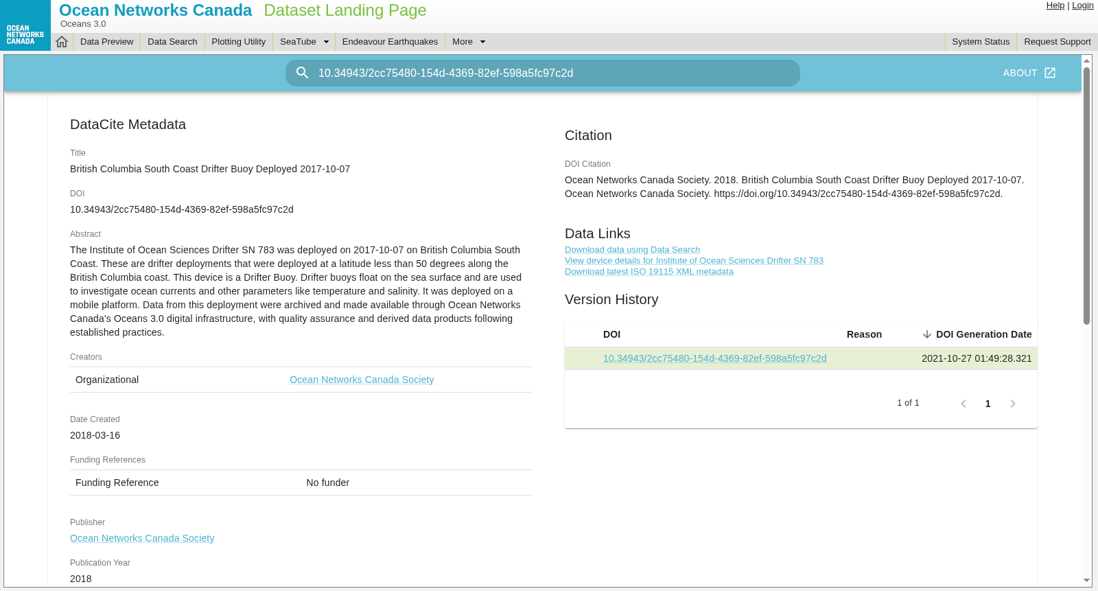
British Columbia South Coast Drifter Buoy Deployed 2017-10-07
收藏Mendeley Data2024-01-31 更新2024-06-27 收录
下载链接:
https://data.oceannetworks.ca/DatasetLandingPage?doidataset=10.34943/2cc75480-154d-4369-82ef-598a5fc97c2d
下载链接
链接失效反馈官方服务:
资源简介:
The Institute of Ocean Sciences Drifter SN 783 was deployed on 2017-10-07 on British Columbia South Coast. These are drifter deployments that were deployed at a latitude less than 50 degrees along the British Columbia coast. This device is a Drifter Buoy. Drifter buoys float on the sea surface and are used to investigate ocean currents and other parameters like temperature and salinity. It was deployed on a mobile platform. Data from this deployment were archived and made available through Ocean Networks Canada's Oceans 2.0 digital infrastructure, with quality assurance and derived data products following established practices.
加拿大海洋科学研究所(Institute of Ocean Sciences)的漂流浮标SN 783于2017年10月7日部署于不列颠哥伦比亚省南海岸。本次数据集涵盖的漂流浮标部署作业均沿不列颠哥伦比亚省海岸开展,且部署纬度低于50度。该设备为漂流浮标(Drifter Buoy),此类浮标漂浮于海面,用于探测海流以及温度、盐度等海洋参数。该浮标搭载于移动平台完成部署。本次部署产生的数据已完成归档,并通过加拿大海洋网络(Ocean Networks Canada)的Oceans 2.0数字基础设施对外共享;所有数据均遵循既定规范开展质量管控,并配套提供衍生数据产品。
创建时间:
2024-01-31
搜集汇总
数据集介绍
背景与挑战
背景概述
该数据集记录了2017年10月7日在不列颠哥伦比亚省南海岸部署的浮标(SN 783)数据,主要用于监测海洋洋流、温度和盐度等参数。数据由Ocean Networks Canada Society提供,覆盖地理范围约北纬49.1403至49.6611、西经124.7012至123.2706,并以多种格式(如mat、txt、csv)存档,支持海洋研究。
以上内容由遇见数据集搜集并总结生成


