喜马拉雅山区1:100万分区分布数据(2016)
收藏资源简介:
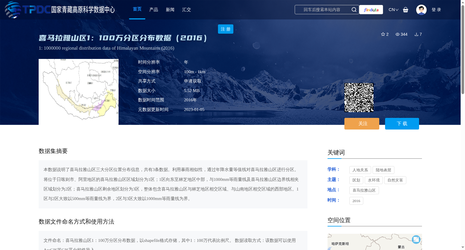
本数据说明了喜马拉雅山区三大分区位置分布信息,共有3条数据。利用暴雨相似性,通过年降水量等值线对喜马拉雅山区进行分区。将位于日喀则市、阿里地区的喜马拉雅山区区域划分为1区;1区向东至林芝地区中部,与1000mm等雨量线及喜马拉雅山区边界线相夹区域划分为2区;喜马拉雅山区剩余地区划分为3区,整体包含喜马拉雅山区与林芝地区相交区域、与山南地区相交区域的西部地区。1区与2区大致以500mm等雨量线为界,2区与3区大致以1000mm等雨量线为界。
This dataset provides the location and distribution information of the three zoning divisions in the Himalayan region, with a total of 3 data records. Zoning of the Himalayan region was conducted based on rainstorm similarity and annual precipitation isohyets. The area of the Himalayan region within Xigazê City and Ngari Prefecture is designated as Zone 1. The area east of Zone 1 extending to the central part of Nyingchi Prefecture, enclosed by the 1000-mm isohyet and the boundary of the Himalayan region, is designated as Zone 2. The remaining areas of the Himalayan region are designated as Zone 3, which generally covers the western parts of the overlapping regions between the Himalayan region and Nyingchi Prefecture, as well as those between the Himalayan region and Shannan Prefecture. Zone 1 and Zone 2 are roughly bounded by the 500-mm isohyet, while Zone 2 and Zone 3 are roughly bounded by the 1000-mm isohyet.