EarthDial-Instruct
收藏资源简介:
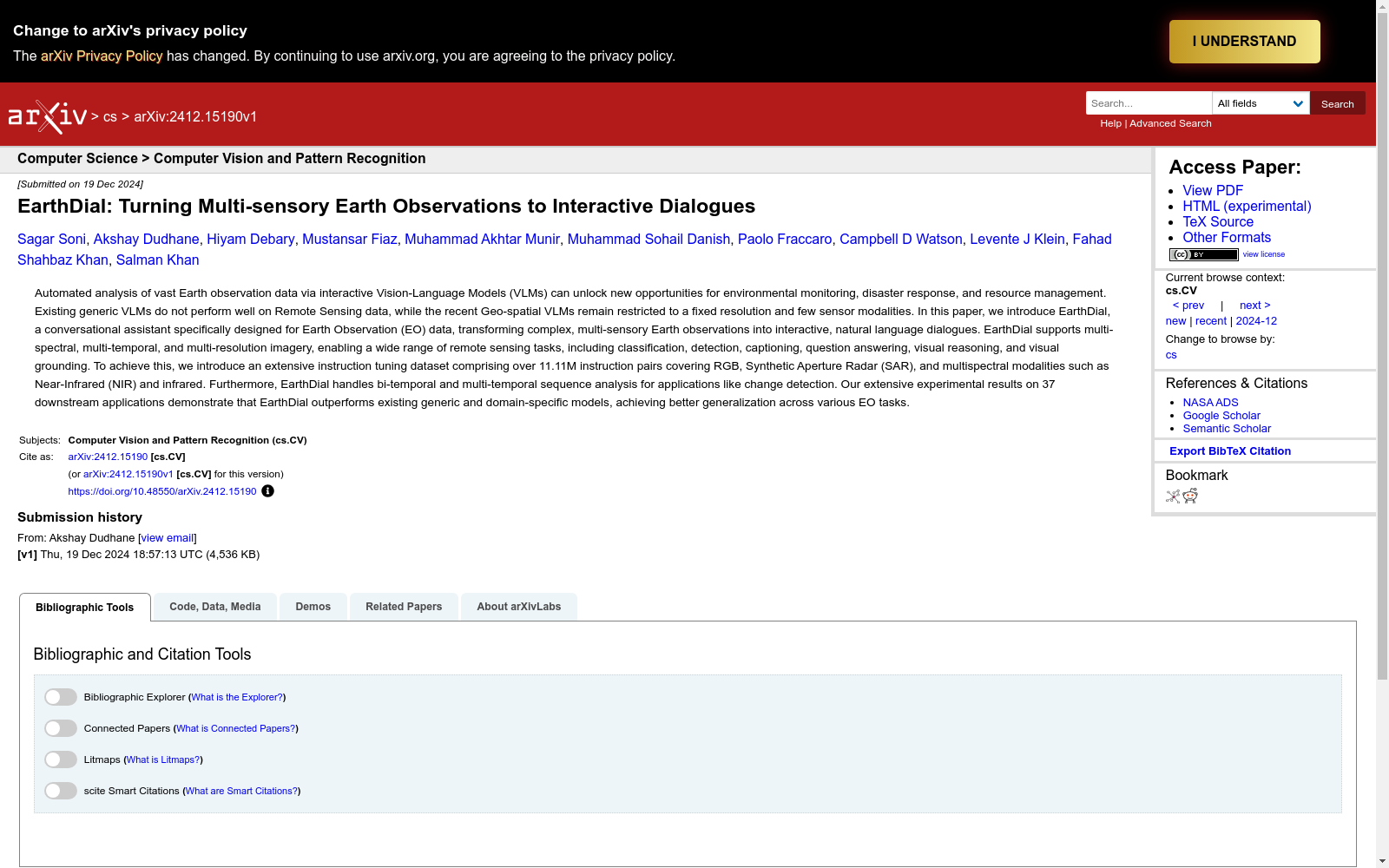
EarthDial-Instruct是由IBM研究院和Mohamed bin Zayed University of AI联合创建的一个大规模遥感图像指令调优数据集,旨在通过多模态理解技术处理复杂的地球观测数据。该数据集包含超过1111万条指令对,涵盖可见光、合成孔径雷达(SAR)、近红外(NIR)和红外等多光谱数据,支持多分辨率、多时相的遥感任务。数据集的创建过程结合了多种传感器数据,并通过多阶段的训练策略进行模型调优,以提高模型在分类、检测、问答、图像描述和视觉定位等任务中的表现。该数据集主要应用于环境监测、灾害响应和资源管理等领域,旨在解决遥感数据处理中的复杂问题。
EarthDial-Instruct is a large-scale remote sensing image instruction-tuning dataset jointly developed by IBM Research and Mohamed bin Zayed University of AI, which aims to process complex Earth observation data via multimodal understanding technologies. This dataset contains over 11.11 million instruction pairs, covering multispectral data including visible light, Synthetic Aperture Radar (SAR), Near-Infrared (NIR) and infrared bands, and supports multi-resolution and multi-temporal remote sensing tasks. The construction of the dataset integrates diverse sensor data and adopts a multi-stage training strategy for model tuning, so as to enhance the model's performance across tasks such as classification, object detection, question answering, image captioning and visual grounding. This dataset is primarily applied in fields like environmental monitoring, disaster response and resource management, with the goal of addressing complex challenges in remote sensing data processing.