2019-2021年一带一路地区10km沙尘强度指数数据集
收藏地球大数据科学工程2024-03-04 收录
下载链接:
https://data.casearth.cn/sdo/detail/6538a371819aec0f26126f94
下载链接
链接失效反馈官方服务:
资源简介:
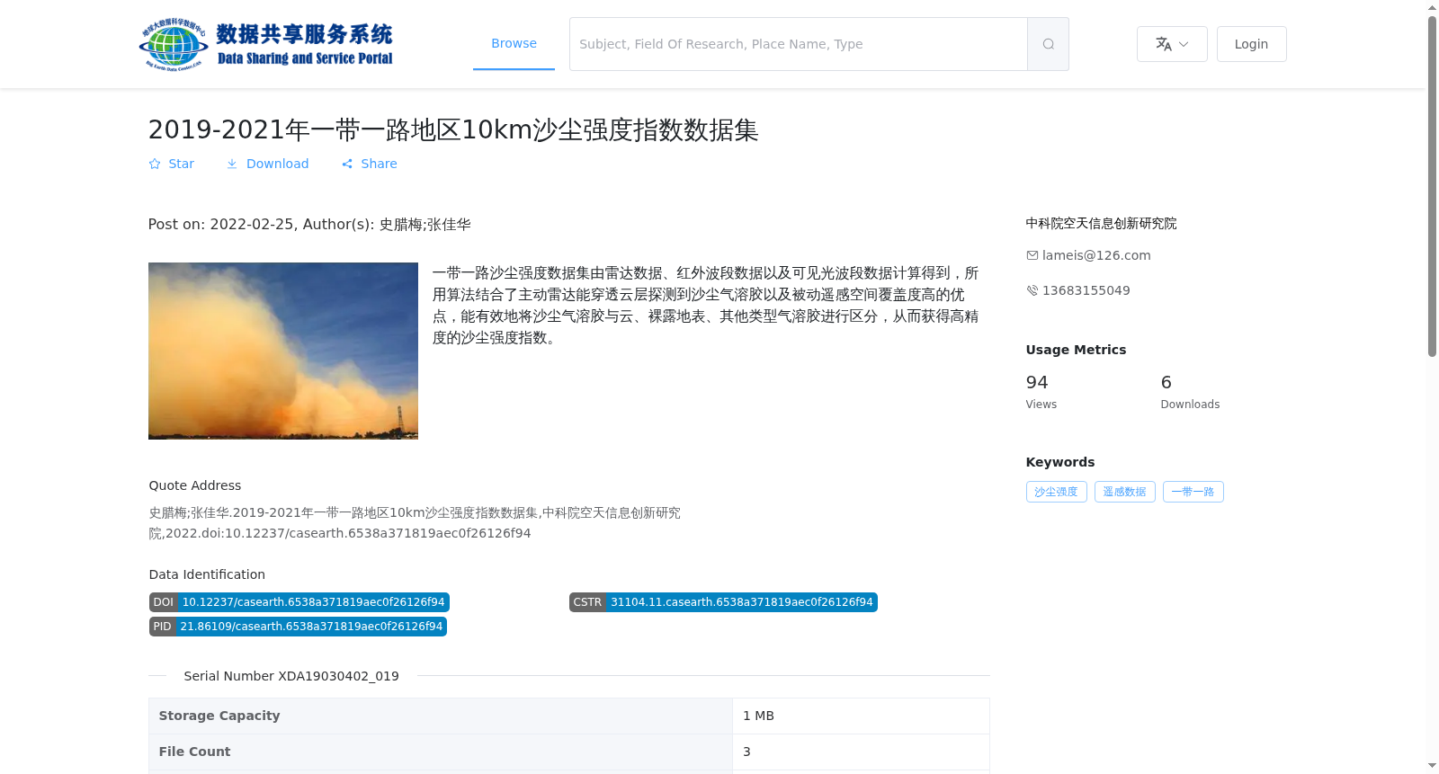
一带一路沙尘强度数据集由雷达数据、红外波段数据以及可见光波段数据计算得到,所用算法结合了主动雷达能穿透云层探测到沙尘气溶胶以及被动遥感空间覆盖度高的优点,能有效地将沙尘气溶胶与云、裸露地表、其他类型气溶胶进行区分,从而获得高精度的沙尘强度指数。
The Belt and Road Dust Intensity Dataset is derived from radar data, infrared band data and visible light band data. The employed algorithm combines the merits of active radar, which can penetrate cloud layers to detect dust aerosols, and passive remote sensing, which boasts high spatial coverage. It can effectively distinguish dust aerosols from clouds, bare surfaces and other types of aerosols, thereby yielding high-precision dust intensity indices.
提供机构:
中科院空天信息创新研究院
搜集汇总
数据集介绍
背景与挑战
背景概述
该数据集提供了2019-2021年一带一路地区的沙尘强度指数,通过多源遥感数据结合先进算法计算得出,具有高精度和有效区分沙尘气溶胶的能力。数据以GeoTiff格式存储,覆盖一带一路地区,适用于环境监测和气候研究。
以上内容由遇见数据集搜集并总结生成


