
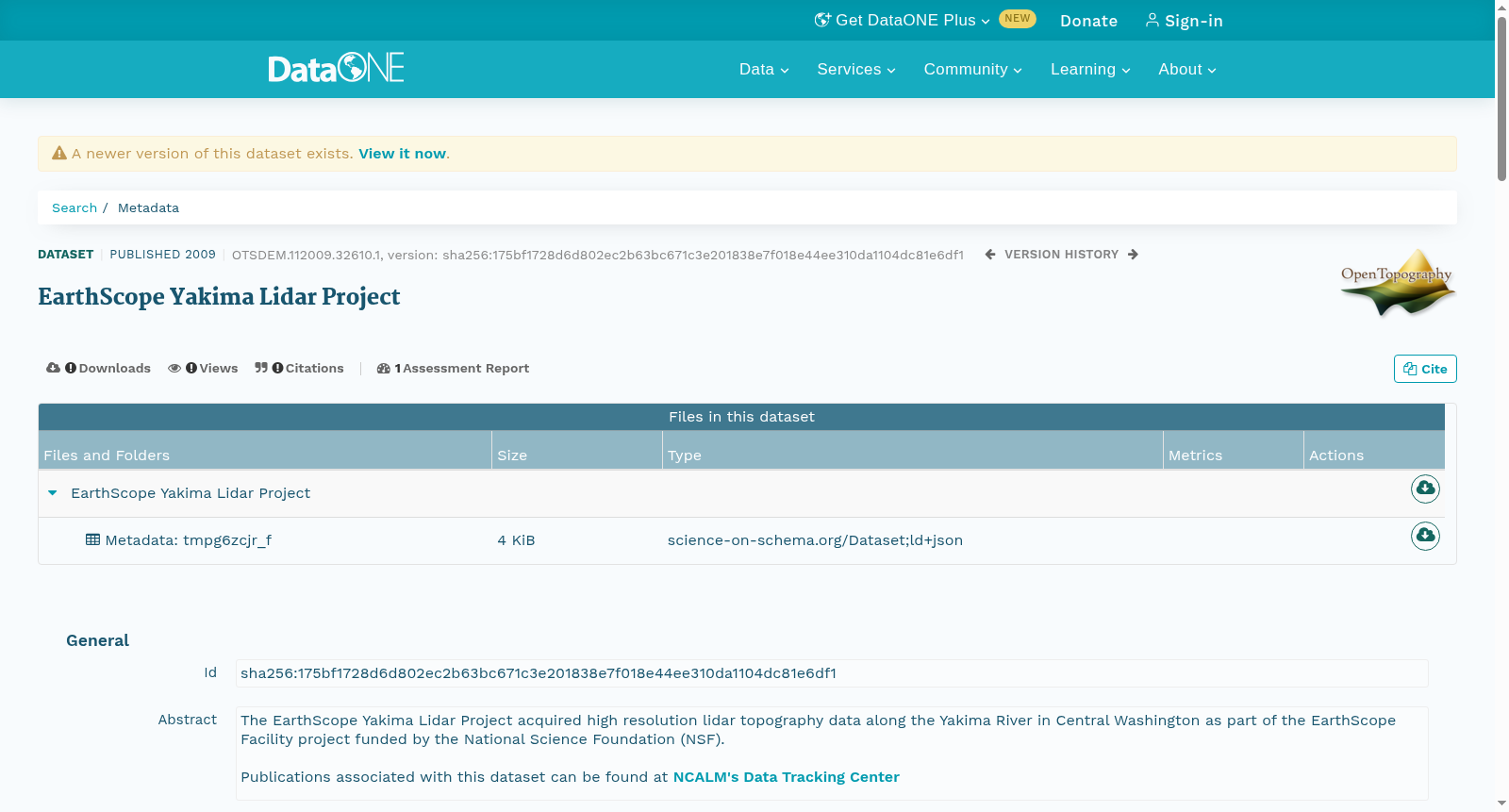
EarthScope Yakima Lidar Project
收藏DataONE2009-11-01 更新2024-06-27 收录
下载链接:
https://search.dataone.org/view/sha256:175bf1728d6d802ec2b63bc671c3e201838e7f018e44ee310da1104dc81e6df1
下载链接
链接失效反馈官方服务:
资源简介:
The EarthScope Yakima Lidar Project acquired high resolution lidar topography data along the Yakima River in Central Washington as part of the EarthScope Facility project funded by the National Science Foundation (NSF).<p><br>Publications associated with this dataset can be found at <a href=\"http://calm.geo.berkeley.edu/ncalm/dtc.html\" target=\"_blank\">NCALM's Data Tracking Center</a></p>
地球观测(EarthScope)亚基马激光雷达(LiDAR)项目作为由美国国家科学基金会(National Science Foundation,NSF)资助的地球观测设施项目的组成部分,在华盛顿州中部的亚基马河沿岸采集了高分辨率激光雷达地形数据。<p><br>与该数据集相关的研究成果可在<a href="http://calm.geo.berkeley.edu/ncalm/dtc.html" target="_blank">NCALM数据跟踪中心</a>查阅。
创建时间:
2023-10-20
搜集汇总
数据集介绍
以上内容由遇见数据集搜集并总结生成


