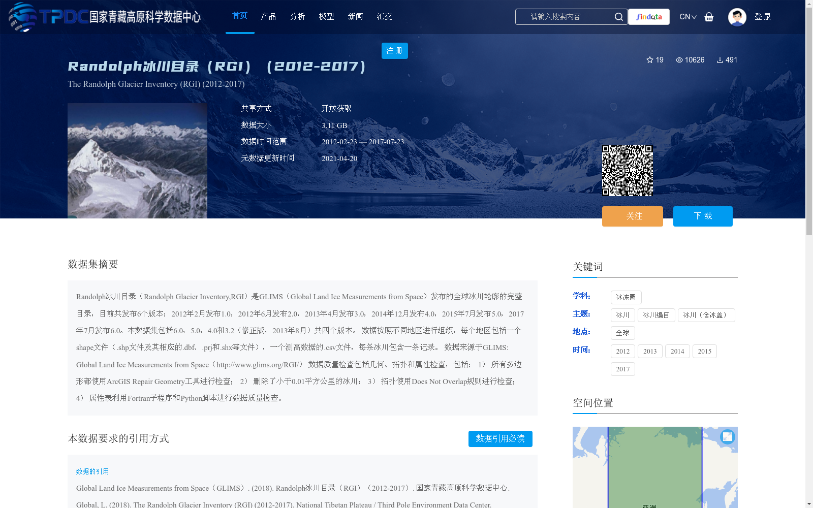
Randolph冰川目录(RGI)(2012-2017)
收藏国家青藏高原科学数据中心2021-04-20 更新2024-03-01 收录
下载链接:
https://data.tpdc.ac.cn/zh-hans/data/14986ec5-7799-43d3-bf5b-2ca80ddbf9d7
下载链接
链接失效反馈官方服务:
资源简介:
Randolph冰川目录(Randolph Glacier Inventory,RGI)是GLIMS(Global Land Ice Measurements from Space)发布的全球冰川轮廓的完整目录,目前共发布6个版本:2012年2月发布1.0,2012年6月发布2.0,2013年4月发布3.0,2014年12月发布4.0,2015年7月发布5.0,2017年7月发布6.0。本数据集包括6.0,5.0,4.0和3.2(修正版,2013年8月)共四个版本。
数据按照不同地区进行组织,每个地区包括一个shape文件(.shp文件及其相应的.dbf、.prj和.shx等文件),一个测高数据的.csv文件,每条冰川包含一条记录。
数据来源于GLIMS: Global Land Ice Measurements from Space(http://www.glims.org/RGI/)
数据质量检查包括几何、拓扑和属性检查,包括:
1) 所有多边形都使用ArcGIS Repair Geometry工具进行检查;
2) 删除了小于0.01平方公里的冰川;
3) 拓扑使用Does Not Overlap规则进行检查;
4) 属性表利用Fortran子程序和Python脚本进行数据质量检查。
Randolph Glacier Inventory (RGI) is a comprehensive global glacier outline catalog released by GLIMS (Global Land Ice Measurements from Space). Six official versions have been published to date: Version 1.0 in February 2012, Version 2.0 in June 2012, Version 3.0 in April 2013, Version 4.0 in December 2014, Version 5.0 in July 2015, and Version 6.0 in July 2017. This dataset includes four versions: Version 6.0, 5.0, 4.0, and 3.2 (corrected version, August 2013).
The data is organized by geographic regions. Each region contains a shapefile (including the .shp file and its corresponding .dbf, .prj, .shx and other auxiliary files), as well as a CSV file of altimetry data, with one record per glacier.
The dataset is sourced from GLIMS: Global Land Ice Measurements from Space (http://www.glims.org/RGI/).
Data quality checks cover geometric, topological and attribute inspections, including:
1) All polygons were inspected using the ArcGIS Repair Geometry tool;
2) Glaciers smaller than 0.01 square kilometers were removed;
3) Topology was inspected using the Does Not Overlap rule;
4) Data quality checks for attribute tables were conducted via Fortran subroutines and Python scripts.
提供机构:
Global Land Ice Measurements from Space(GLIMS)
创建时间:
2018-07-20
搜集汇总
数据集介绍
背景与挑战
背景概述
Randolph冰川目录(RGI)(2012-2017)是GLIMS发布的全球冰川轮廓完整目录,包含6.0、5.0、4.0和3.2(修正版)四个版本,数据按地区组织,提供shape文件和测高CSV文件,每条冰川有独立记录。数据集经过严格质量检查,如删除小冰川和拓扑验证,覆盖全球范围,时间跨度为2012年至2017年,适用于冰冻圈和冰川研究。
以上内容由遇见数据集搜集并总结生成


