RSC:西藏拉萨拉鲁湿地无人机航拍监测三维模型数据集(2025)
收藏资源简介:
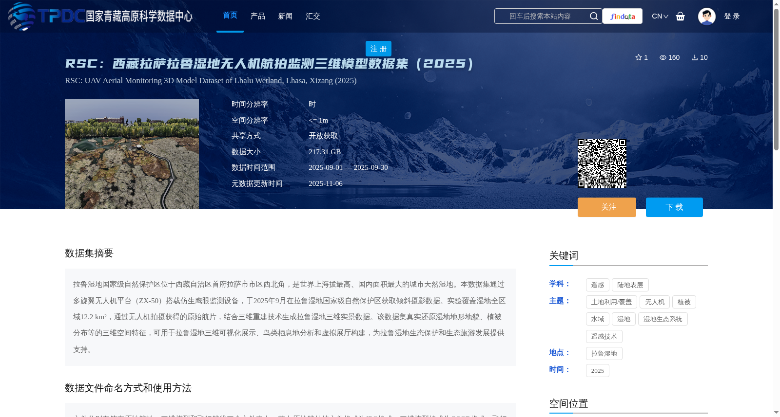
拉鲁湿地国家级自然保护区位于西藏自治区首府拉萨市市区西北角,是世界上海拔最高、国内面积最大的城市天然湿地。本数据集通过多旋翼无人机平台(ZX-50)搭载仿生鹰眼监测设备,于2025年9月在拉鲁湿地国家级自然保护区获取倾斜摄影数据。实验覆盖湿地全区域12.2 km²,通过无人机拍摄获得的原始航片,结合三维重建技术生成拉鲁湿地三维实景数据。该数据集真实还原湿地地形地貌、植被分布等的三维空间特征,可用于拉鲁湿地三维可视化展示、鸟类栖息地分析和虚拟展厅构建,为拉鲁湿地生态保护和生态旅游发展提供支持。
Lalu Wetland National Nature Reserve is located in the northwest corner of downtown Lhasa, the capital of the Tibet Autonomous Region, and is the highest-altitude urban natural wetland in the world and the largest urban natural wetland in China by area. This dataset collected oblique photography data over the entire reserve in September 2025, using a multi-rotor UAV platform (ZX-50) equipped with bionic eagle-eye monitoring equipment. The survey covers a total area of 12.2 km² of the wetland. The 3D real-scene data of Lalu Wetland was generated by combining the original aerial photographs captured by the UAV with 3D reconstruction technology. This dataset accurately restores the 3D spatial characteristics of the wetland, including its topography, landforms and vegetation distribution. It can be used for 3D visualization display of Lalu Wetland, bird habitat analysis and virtual exhibition hall construction, providing support for the ecological protection and eco-tourism development of the reserve.