2020年度亚湿润干旱区土地荒漠化程度分布图
收藏国家林业和草原科学数据中心2023-05-06 更新2024-03-06 收录
下载链接:
https://www.forestdata.cn/dataDetail.html?id=beea7753-d2b8-48df-b06b-9b39fb697415
下载链接
链接失效反馈官方服务:
资源简介:
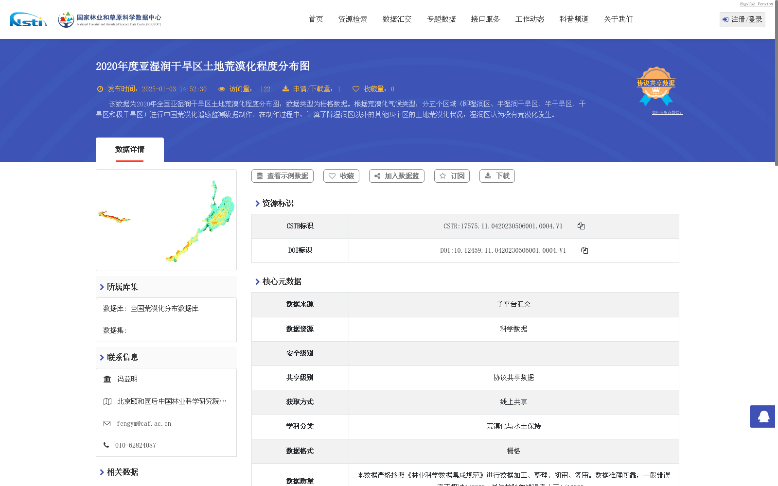
该数据为2020年全国亚湿润干旱区土地荒漠化程度分布图,数据类型为栅格数据。根据荒漠化气候类型,分五个区域(即湿润区、半湿润干旱区、半干旱区、干旱区和极干旱区)进行中国荒漠化遥感监测数据制作。在制作过程中,计算了除湿润区以外的其他四个区的土地荒漠化状况,湿润区认为没有荒漠化发生。
This dataset is a 2020 raster distribution map of land desertification degrees across China. It was compiled using China's national desertification remote sensing monitoring data, which was categorized into five climate-based desertification regions: humid region, semi-humid arid region, semi-arid region, arid region, and hyper-arid region. During the compilation process, the land desertification conditions of the four regions excluding the humid region were quantified, and no desertification is deemed to have occurred within the humid region.
提供机构:
国家林业和草原科学数据中心
创建时间:
2023-05-06
搜集汇总
数据集介绍
背景与挑战
背景概述
该数据集是2020年中国亚湿润干旱区土地荒漠化程度分布图,采用栅格数据格式,覆盖全国范围。它基于荒漠化气候类型划分了五个区域(湿润区、半湿润干旱区、半干旱区、干旱区和极干旱区),并通过遥感监测方法计算了除湿润区外其他四个区域的荒漠化状况,其中湿润区被视为无荒漠化发生。数据集具有较高的数据质量,错误率低,数据量为990.12 MB,适用于荒漠化与水土保持相关研究。
以上内容由遇见数据集搜集并总结生成


