PCFootprint
收藏资源简介:
PCFootprint是由深圳大学研究团队创建的首个大规模公开航空激光扫描点云建筑物足迹提取数据集,旨在解决光学影像中因遮挡和畸变导致的提取不完整问题。该数据集涵盖爱沙尼亚多样化的城乡景观,包含33,000个标准化图块,覆盖540.67平方公里,共标注227,264个建筑物实例,每个图块尺寸为128米×128米,点云间距在0.22至1.09米之间。数据集通过系统处理原始点云数据并配准矢量多边形标注构建而成,专门支持从三维空间直接生成结构化建筑轮廓。其核心应用领域包括建筑物建模、城市三维重建、地理空间分析及智慧城市基础设施开发,为数字孪生和GIS应用提供几何保真度更高的基础数据。
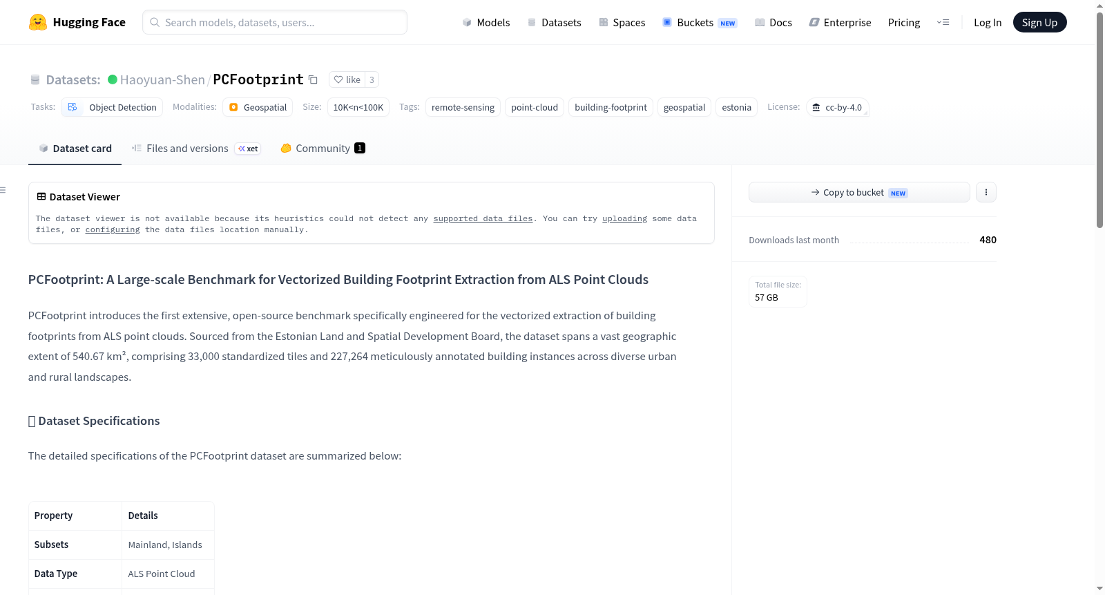
PCFootprint is the first large-scale publicly available airborne LiDAR point cloud building footprint extraction dataset developed by a research team from Shenzhen University. It aims to address the problem of incomplete extraction caused by occlusion and distortion in optical imagery. This dataset covers diverse urban and rural landscapes in Estonia, consisting of 33,000 standardized tiles spanning a total area of 540.67 square kilometers, with a total of 227,264 annotated building instances. Each tile measures 128 meters × 128 meters, and the point cloud spacing ranges from 0.22 to 1.09 meters. The dataset is constructed by systematically processing raw point cloud data and registering vector polygon annotations, and is specifically designed to support the direct generation of structured building footprints from three-dimensional space. Its core application areas include building modeling, urban 3D reconstruction, geospatial analysis, and smart city infrastructure development, providing foundational data with higher geometric fidelity for digital twin and GIS applications.
数据集概述
PCFootprint 是一个专为从ALS点云中矢量提取建筑足迹而设计的大规模开源基准数据集。数据来源于爱沙尼亚土地与空间发展委员会,覆盖540.67平方公里,包含33,000个标准化瓦片和227,264个精细标注的建筑实例,涵盖多样化的城市与乡村景观。
数据集规格
| 属性 | 详情 |
|---|---|
| 子集 | 爱沙尼亚大陆(Mainland)、岛屿(Islands) |
| 数据类型 | ALS点云 |
| 标注格式 | 矢量多边形(.json) |
| 开放性 | 开源 |
| 点间距 [米] | 0.22 – 1.09 |
| 瓦片尺寸 [米] | 128 × 128 |
| 总瓦片数 | 33,000 |
| 建筑实例数 | 227,264 |
| 覆盖面积 [平方公里] | 540.67 |
数据结构
数据集包含两个主要子集,对应爱沙尼亚不同的地理特征:
- Mainland/(爱沙尼亚大陆)
pointcloud/:点云数据(如 .laz 格式)footprint/:矢量足迹标注(如 .json 格式)
- Islands/(爱沙尼亚岛屿)
pointcloud/:点云数据(如 .laz 格式)footprint/:矢量足迹标注(如 .json 格式)
许可证与致谢
- 数据集许可证:采用 Creative Commons Attribution 4.0 International (CC BY 4.0) 许可。
- 数据来源:
- 高程/原始LiDAR数据(2021-2024)
- 行政单位/县界数据(2025)
- 地形数据库(ETAK)/建筑数据(2021-2024)
- 所有原始数据均依据爱沙尼亚土地委员会开放数据许可(2025年1月1日版)使用,许可文件链接为:https://geoportaal.maaruum.ee/docs/Avaandmed/ETAK_open_data_licence.pdf