中国100米分辨率沿海潮滩地形数据集(2024年)
收藏资源简介:
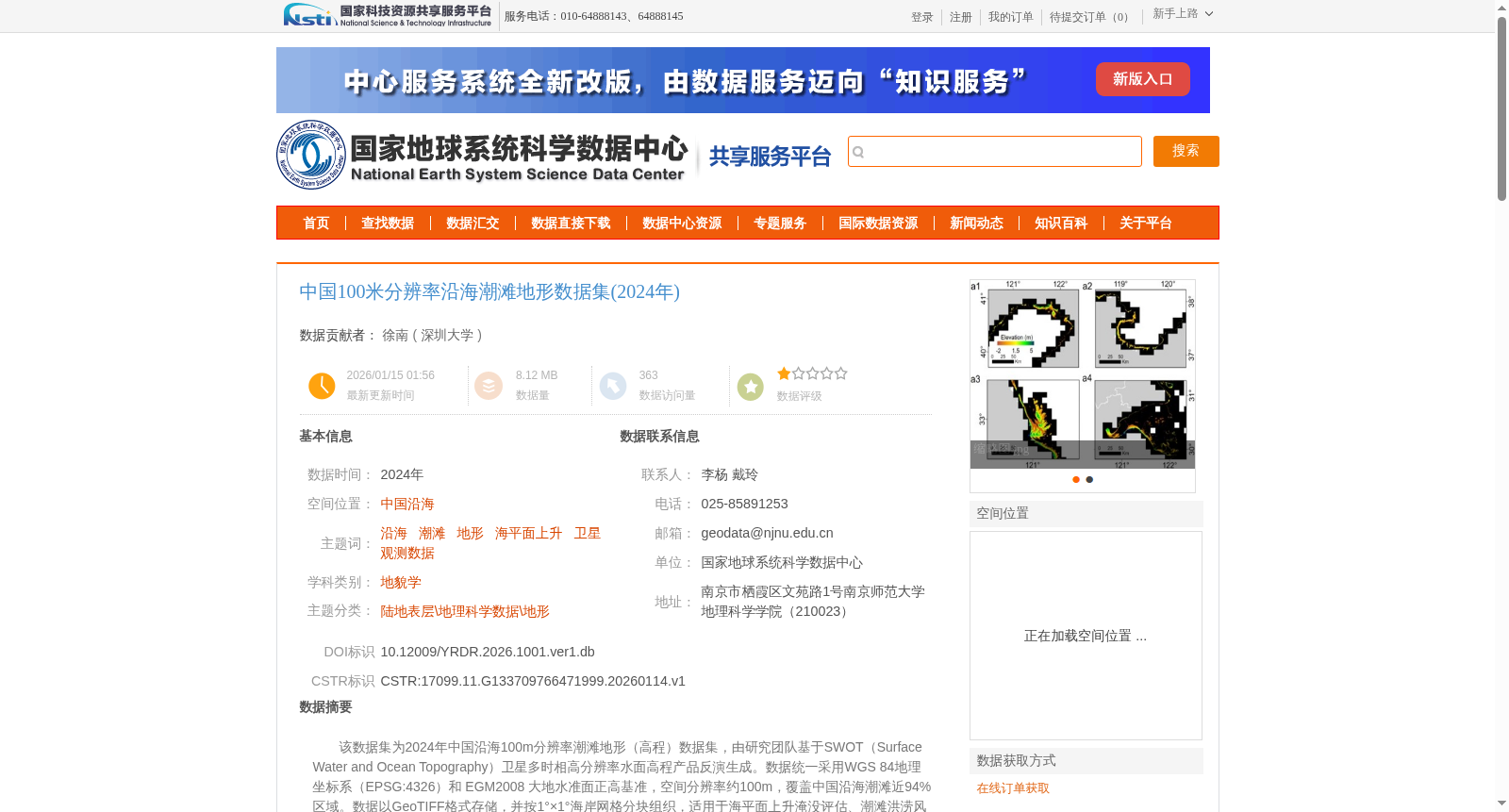
该数据集为2024年中国沿海100m分辨率潮滩地形(高程)数据集,由研究团队基于SWOT(Surface Water and Ocean Topography)卫星多时相高分辨率水面高程产品反演生成。数据统一采用WGS 84地理坐标系(EPSG:4326)和 EGM2008 大地水准面正高基准,空间分辨率约100m,覆盖中国沿海潮滩近94%区域。数据以GeoTIFF格式存储,并按1°×1°海岸网格分块组织,适用于海平面上升淹没评估、潮滩洪涝风险分析、海岸生态与地貌演变研究等应用。
This dataset is the 2024 100 m-resolution tidal flat topography (elevation) dataset for coastal China. It was generated by the research team through inversion based on the multi-temporal high-resolution water surface elevation products of the SWOT (Surface Water and Ocean Topography) satellite. The data uniformly adopts the WGS 84 geographic coordinate system (EPSG:4326) and the EGM2008 geoid orthometric height datum, with a spatial resolution of approximately 100 m, covering nearly 94% of the tidal flat areas along the coast of China. Stored in GeoTIFF format, the data is organized into tiled chunks based on a 1°×1° coastal grid, and is applicable to applications including sea level rise inundation assessment, tidal flat flood risk analysis, and research on coastal ecology and geomorphic evolution.