溢油遥感监测服务
收藏郑州数据交易中心2023-10-31 更新2024-10-10 收录
下载链接:
https://market.zzbdex.com/trade/service/1719189680474984449
下载链接
链接失效反馈官方服务:
资源简介:
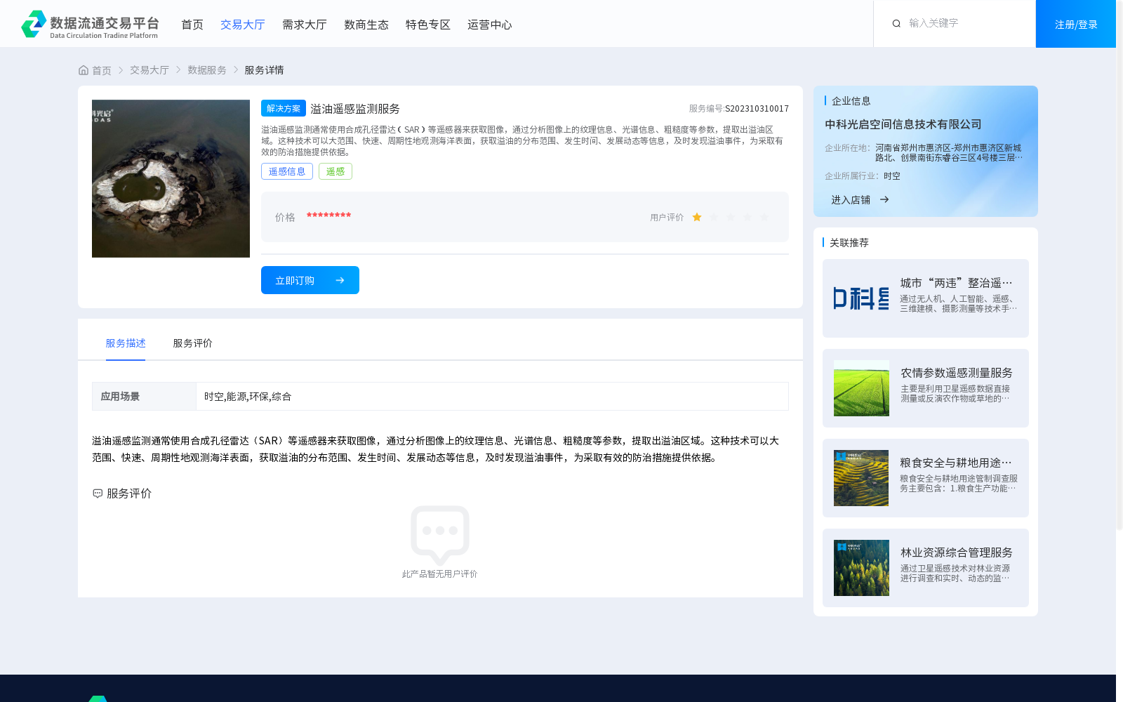
溢油遥感监测通常使用合成孔径雷达(SAR)等遥感器来获取图像,通过分析图像上的纹理信息、光谱信息、粗糙度等参数,提取出溢油区域。这种技术可以大范围、快速、周期性地观测海洋表面,获取溢油的分布范围、发生时间、发展动态等信息,及时发现溢油事件,为采取有效的防治措施提供依据。
Oil spill remote sensing monitoring typically employs remote sensors such as Synthetic Aperture Radar (SAR) to acquire images. By analyzing parameters including texture information, spectral information and roughness from the images, oil spill areas can be extracted. This technology enables large-scale, rapid and periodic observations of the ocean surface, acquiring information such as the distribution range, occurrence time and development trends of oil spills, timely detecting oil spill incidents and providing a basis for adopting effective prevention and control measures.
提供机构:
中科光启空间信息技术有限公司
创建时间:
2023-10-31
搜集汇总
数据集介绍
背景与挑战
背景概述
溢油遥感监测服务利用SAR遥感技术,通过分析图像参数提取溢油区域信息,适用于时空、能源、环保等领域,实现大范围、快速、周期性的海洋溢油监测。
以上内容由遇见数据集搜集并总结生成


