中国1:25万二级流域分级数据集(2002年)
收藏国家地球系统科学数据中心2024-09-04 更新2024-03-04 收录
下载链接:
https://www.geodata.cn/data/datadetails.html?dataguid=243293730193084&docId=2656
下载链接
链接失效反馈官方服务:
资源简介:
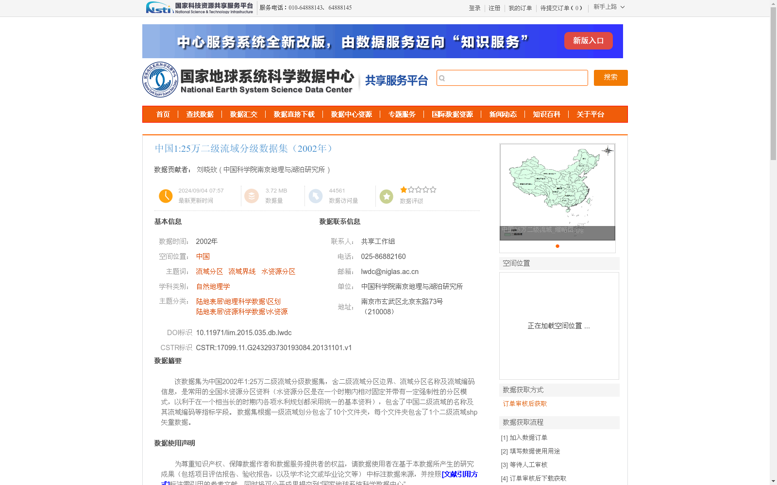
该数据集为中国2002年1:25万二级流域分级数据集,含二级流域分区边界、流域分区名称及流域编码信息,是常用的全国水资源分区资料(水资源分区是在一个时期内相对固定并带有一定强制性的分区模式,以利于在一个相当长的时期内各项水利规划都采用统一的基本资料),包含了中国二级流域的名称及其流域编码等指标字段。
数据集根据一级流域划分包含了10个文件夹,每个文件夹包含了1个二级流域shp矢量数据。
This dataset is the 2002 1:250,000 hierarchical secondary river basin dataset of China. It contains the boundary, name and coding information of secondary river basin subregions, and is a commonly used national water resources regionalization dataset. Water resources regionalization refers to a relatively fixed and somewhat mandatory zoning pattern over a specific period, which aims to facilitate the use of unified basic data for various water conservancy planning projects over a relatively long term. It also includes indicator fields such as the names and coding information of China's secondary river basins. The dataset is divided into 10 folders based on primary river basins, and each folder contains one secondary river basin shapefile (shp) vector data file.
提供机构:
中国科学院南京地理与湖泊研究所
创建时间:
2013-11-01
搜集汇总
数据集介绍
背景与挑战
背景概述
该数据集是中国2002年的1:25万比例尺二级流域分级数据,包含二级流域的边界、名称和编码信息,基于一级流域划分为10个部分,以shp矢量格式提供。它基于DEM和水系数据提取,采用WGS84空间投影,质量符合国家标准,是常用的全国水资源分区基础资料,适用于自然地理和水资源研究。
以上内容由遇见数据集搜集并总结生成


