第三极地区长时间序列高分辨率(1/30°)降水数据集(TPHiPr,1979-2020)
收藏国家青藏高原科学数据中心2023-02-09 更新2024-03-06 收录
下载链接:
https://data.tpdc.ac.cn/zh-hans/data/e45be858-bcb2-4fea-bd10-5c2662cb34a5
下载链接
链接失效反馈官方服务:
资源简介:
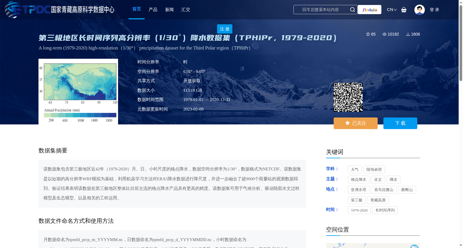
该数据集包含第三极地区近42年(1979-2020)月、日、小时尺度的格点降水,数据空间分辨率为1/30°,数据格式为NETCDF。该数据集是以短期的高分辨率WRF模拟为基础,利用机器学习方法对ERA5降水数据进行降尺度,并进一步融合了超9000个雨量站的观测数据得到。验证结果表明该数据在第三极地区整体比目前主流的格点降水产品具有更高的精度。该数据集可用于气候分析、驱动陆面水文过程模型及生态模型、以及相关的工程运用。
This dataset contains gridded precipitation data at monthly, daily, and hourly scales for the Third Pole region spanning nearly 42 years (1979–2020), with a spatial resolution of 1/30° and stored in NETCDF format. This dataset is developed based on short-term high-resolution WRF simulations, where machine learning methods are used to downscale ERA5 precipitation data, and further integrates observational data from more than 9,000 rain gauges. Validation results demonstrate that this dataset exhibits higher overall accuracy than prevailing gridded precipitation products across the Third Pole region. This dataset can be applied to climate analysis, driving land surface hydrological and ecological models, and relevant engineering applications.
提供机构:
阳坤,姜尧志
创建时间:
2022-08-16
搜集汇总
数据集介绍
背景与挑战
背景概述
该数据集是第三极地区1979年至2020年的长时间序列高分辨率(1/30°)降水数据,覆盖月、日、小时尺度,通过融合WRF模拟、机器学习降尺度和超过9000个雨量站观测生成,精度高于主流产品,适用于气候分析、水文和生态模型驱动。数据以NETCDF格式提供,总大小为113.10 GB,支持开放获取。
以上内容由遇见数据集搜集并总结生成


