青藏高原土壤冻融结构参数调查的数据集
收藏资源简介:
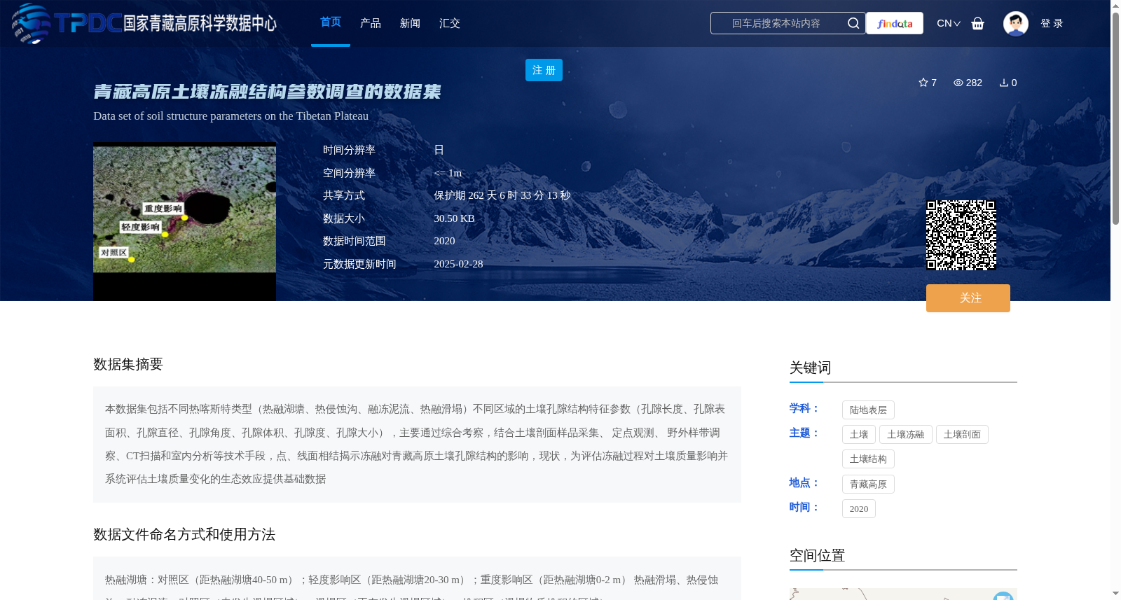
本数据集包括不同热喀斯特类型(热融湖塘、热侵蚀沟、融冻泥流、热融滑塌)不同区域的土壤孔隙结构特征参数(孔隙长度、孔隙表面积、孔隙直径、孔隙角度、孔隙体积、孔隙度、孔隙大小),主要通过综合考察,结合土壤剖面样品采集、 定点观测、 野外样带调察、CT扫描和室内分析等技术手段,点、线面相结揭示冻融对青藏高原土壤孔隙结构的影响,现状,为评估冻融过程对土壤质量影响并系统评估土壤质量变化的生态效应提供基础数据
This dataset contains soil pore structure characteristic parameters including pore length, pore surface area, pore diameter, pore angle, pore volume, porosity, and pore size, collected from various regions with four typical thermokarst types: thermokarst lakes, thermokarst gullies, solifluction flows, and thermokarst slumps. It was developed via comprehensive field surveys combined with technical approaches such as soil profile sample collection, fixed-point observation, field transect surveys, CT scanning, and laboratory analysis. By adopting an integrated point-line-plane research framework, this work reveals the impacts and current status of freeze-thaw processes on soil pore structures in the Qinghai-Tibet Plateau, providing foundational data for evaluating the effects of freeze-thaw processes on soil quality and systematically assessing the ecological impacts of soil quality changes.