Pedestrian inertial navigation dataset with wearable sensor
收藏资源简介:
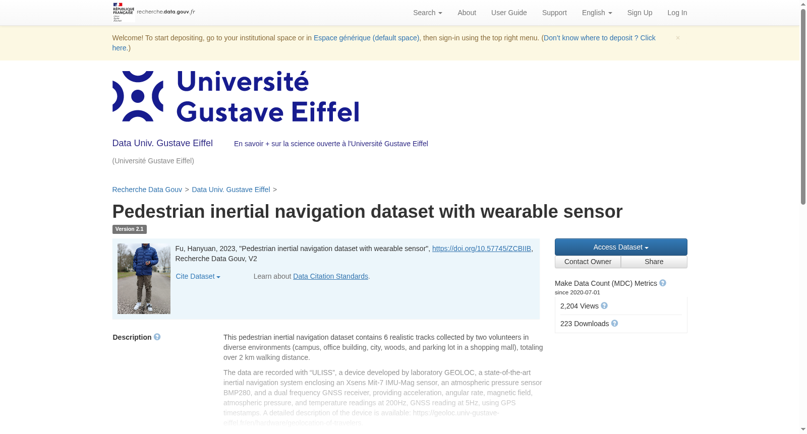
This pedestrian inertial navigation dataset contains 6 realistic tracks collected by two volunteers in diverse environments (campus, office building, city, woods, and parking lot in a shopping mall), totaling over 2 km walking distance. The data are recorded with “ULISS”, a device developed by laboratory GEOLOC, a state-of-the-art inertial navigation system enclosing an Xsens Mit-7 IMU-Mag sensor, an atmospheric pressure sensor BMP280, and a dual frequency GNSS receiver, providing acceleration, angular rate, magnetic field, atmospheric pressure, and temperature readings at 200Hz, GNSS reading at 5Hz, using GPS timestamps. A detailed description of the device is available: https://geoloc.univ-gustave-eiffel.fr/en/hardware/geolocation-of-travelers. During the experiment, the volunteer holds one ULISS horizontally (the z-axis points to the sky, see the photo), and walks naturally. The other ULISS is attached to his foot as the reference tracker and provides the ground truth trajectory and stride instants. All tracks started with a 40-second static phase in an outdoor environment. Each track contains the following elements: - Raw data recorded by the handheld ULISS device including acceleration, angular rate, magnetic field, atmospheric pressure, temperature, and GNSS. - Magnetometer calibration parameters of the handheld device - Allan variance calibration parameters of the handheld device - Ground Truth user trajectory and stride instants given by the foot-mounted ULISS.
本行人惯性导航数据集包含6条真实采集轨迹,由两名志愿者在多样化环境(校园、办公楼、城市街区、林地以及商场停车场)中采集得到,总步行距离超过2公里。 本数据集采用GEOLOC实验室研发的ULISS设备进行数据记录,该设备为一套先进的惯性导航系统,集成了Xsens Mit-7型惯性测量单元磁传感器(IMU-Mag)、BMP280型大气压力传感器以及双频全球导航卫星系统(GNSS)接收机。设备可分别以200Hz的采样率输出加速度、角速度、磁场强度、大气压力与温度数据,以5Hz的采样率输出GNSS数据,时间戳采用GPS时间标准。 该设备的详细技术说明可参见:https://geoloc.univ-gustave-eiffel.fr/en/hardware/geolocation-of-travelers。 实验过程中,志愿者将一台ULISS设备水平握持(Z轴指向天空,详见配套照片),并以自然步态步行;另一台ULISS设备则被固定于其足部,作为参考轨迹采集装置,可输出真值轨迹与跨步时刻。 所有采集轨迹均以一段时长40秒的室外静态校准阶段作为起始。 每条轨迹均包含以下数据项: - 手持ULISS设备采集的原始数据,涵盖加速度、角速度、磁场强度、大气压力、温度以及GNSS数据; - 手持设备的磁强计校准参数; - 手持设备的艾伦方差校准参数; - 足部固定ULISS设备提供的用户真值轨迹与跨步时刻。