中国区域10m空间分辨率楼高(CNBH10m)数据集(2020)
收藏资源简介:
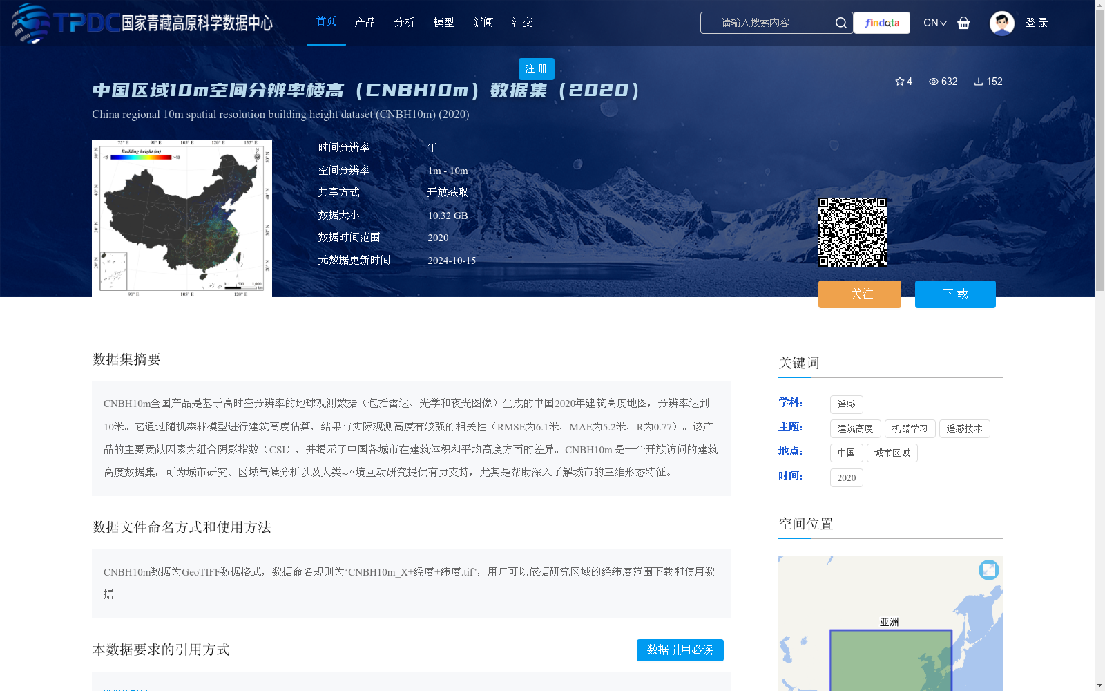
CNBH10m全国产品是基于高时空分辨率的地球观测数据(包括雷达、光学和夜光图像)生成的中国2020年建筑高度地图,分辨率达到10米。它通过随机森林模型进行建筑高度估算,结果与实际观测高度有较强的相关性(RMSE为6.1米,MAE为5.2米,R为0.77)。该产品的主要贡献因素为组合阴影指数(CSI),并揭示了中国各城市在建筑体积和平均高度方面的差异。CNBH10m 是一个开放访问的建筑高度数据集,可为城市研究、区域气候分析以及人类-环境互动研究提供有力支持,尤其是帮助深入了解城市的三维形态特征。
The CNBH10m National Product is a 10-meter resolution building height map of China in 2020, generated from high spatiotemporal resolution Earth observation data including radar, optical, and nighttime light imagery. It utilizes a Random Forest model to estimate building heights, with the results exhibiting strong correlation with actual observed heights (RMSE = 6.1 m, MAE = 5.2 m, R = 0.77). The core contributing factor of this dataset is the Composite Shadow Index (CSI), and it unveils the disparities in building volume and average height across Chinese cities. CNBH10m is an openly accessible building height dataset that provides robust support for urban studies, regional climate analysis, and human-environment interaction research, particularly enabling in-depth insights into the three-dimensional morphological characteristics of urban areas.