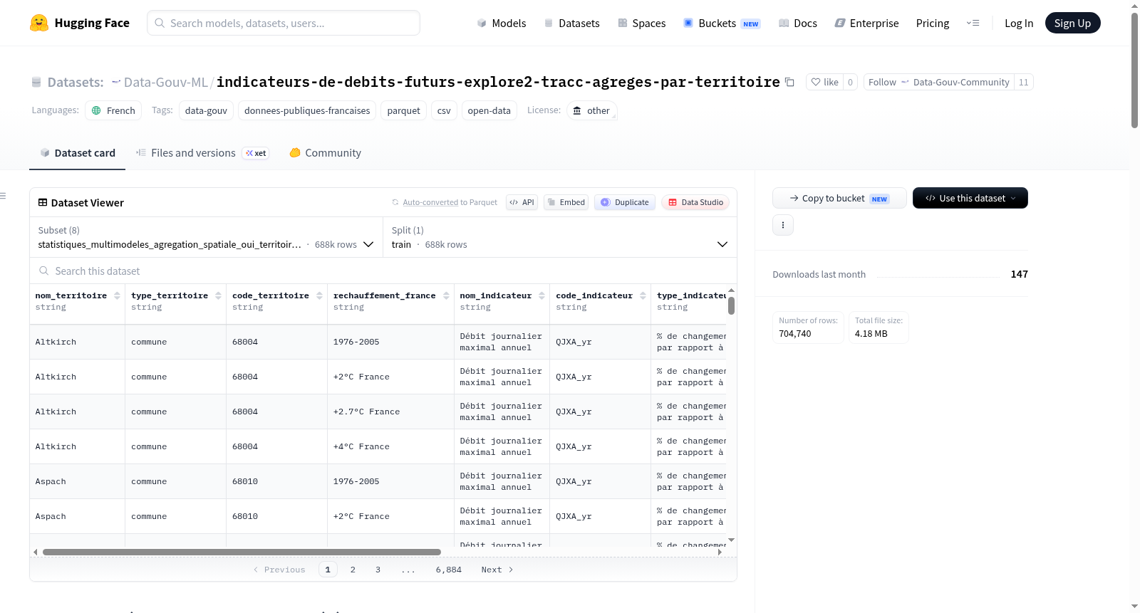
Data-Gouv-FR/indicateurs-de-debits-futurs-explore2-tracc-agreges-par-territoire
收藏资源简介:
该数据集提供了按地区(如市镇、EPCI、SAGE、省或区域)汇总的未来流量演变的综合数据。这些数据由区域能源气候观测站(RARE网络)基于Explore2预测生成,旨在简化对Explore2预测信息的访问和综合。数据集包括多种指标:年平均流量(QA)、洪水流量(QJXA)、低水位流量(VCN10年度)、洪水持续时间和低水位持续时间。数据综合方法包括多模型统计和narraTRACC方法,并结合空间聚合,以提供易于使用的入口点。数据集适用于气候和水文研究,但需注意对于大区域(如地区或省),由于水文动态和气候变化的异质性,聚合值应仅作为入门指标,不代表水文多样性。建议参考方法论报告以获取更多信息。
This dataset provides aggregated summary figures on the evolution of future flows by territory, such as communes, EPCIs, SAGEs, departments, or regions. The data is produced by the Regional Energy Climate Observatories (RARE network) based on Explore2 projections, aiming to simplify access and synthesize information from these projections. The dataset includes indicators such as mean annual flow (QA), flood flow (QJXA), low-water flow (annual VCN10), flood duration, and low-water duration. The synthesis methods involve multi-model statistics and narraTRACC approaches, combined with spatial aggregation to offer an easy entry point for users. It is suitable for climate and hydrological studies, but caution is advised for large territories (e.g., regions or departments) where aggregated values may not represent hydrological diversity due to heterogeneity. Refer to the methodological report for further details.