基于ICESat-2的北半球季节性积雪深度数据集 (2018-2020)
收藏国家青藏高原科学数据中心2025-02-13 更新2025-10-18 收录
下载链接:
https://data.tpdc.ac.cn/zh-hans/data/e221228e-8f27-447c-8696-c67de5f2ebca
下载链接
链接失效反馈官方服务:
资源简介:
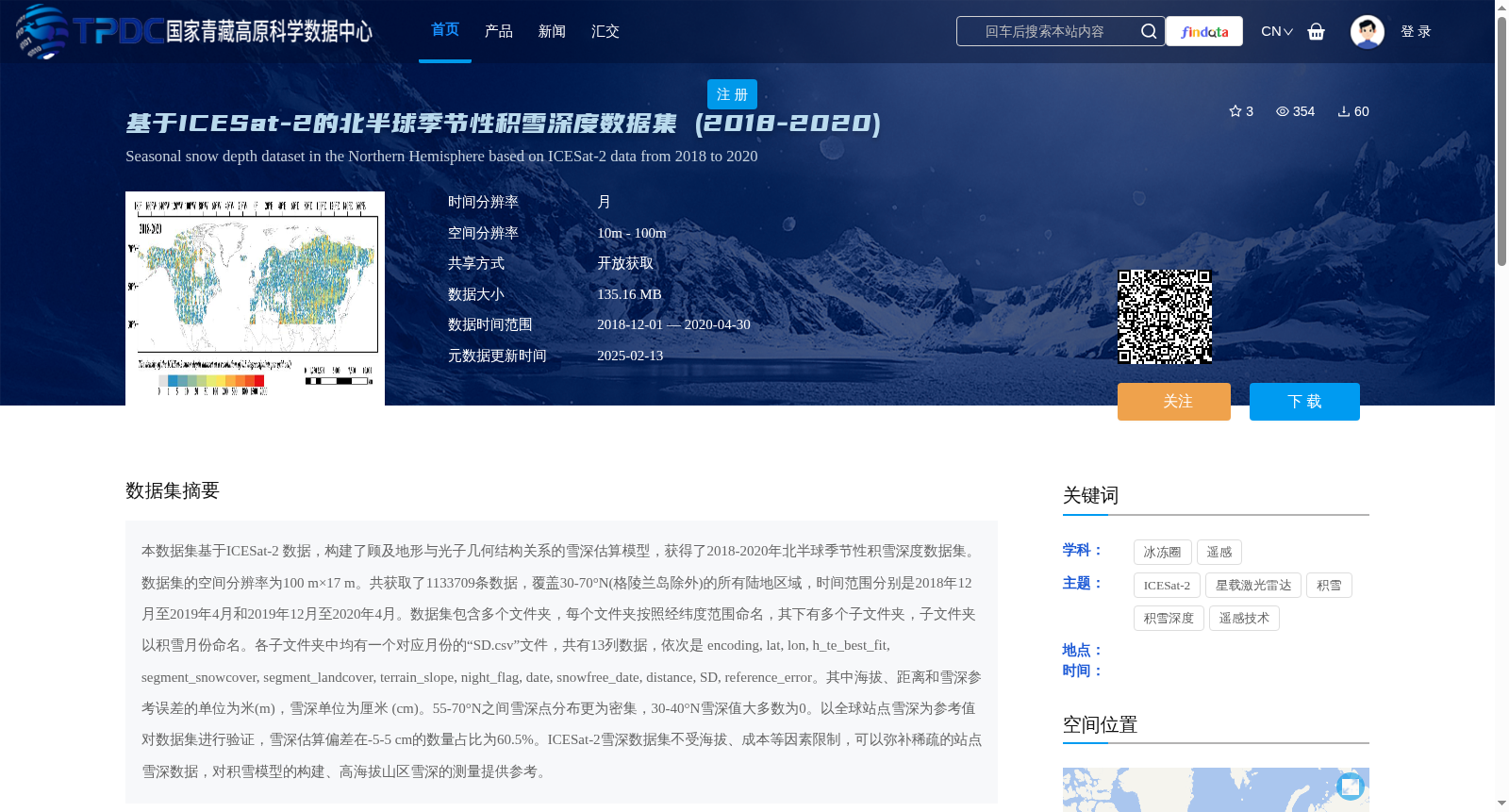
本数据集基于ICESat-2 数据,构建了顾及地形与光子几何结构关系的雪深估算模型,获得了2018-2020年北半球季节性积雪深度数据集。数据集的空间分辨率为100 m×17 m。共获取了1133709条数据,覆盖30-70°N(格陵兰岛除外)的所有陆地区域,时间范围分别是2018年12月至2019年4月和2019年12月至2020年4月。数据集包含多个文件夹,每个文件夹按照经纬度范围命名,其下有多个子文件夹,子文件夹以积雪月份命名。各子文件夹中均有一个对应月份的“SD.csv”文件,共有13列数据,依次是 encoding, lat, lon, h_te_best_fit, segment_snowcover, segment_landcover, terrain_slope, night_flag, date, snowfree_date, distance, SD, reference_error。其中海拔、距离和雪深参考误差的单位为米(m),雪深单位为厘米 (cm)。55-70°N之间雪深点分布更为密集,30-40°N雪深值大多数为0。以全球站点雪深为参考值对数据集进行验证,雪深估算偏差在-5-5 cm的数量占比为60.5%。ICESat-2雪深数据集不受海拔、成本等因素限制,可以弥补稀疏的站点雪深数据,对积雪模型的构建、高海拔山区雪深的测量提供参考。
Based on ICESat-2 data, this study constructs a snow depth estimation model that accounts for the relationship between terrain and photon geometric structure, and derives a seasonal snow depth dataset over the Northern Hemisphere spanning 2018 to 2020. The dataset has a spatial resolution of 100 m × 17 m. A total of 1,133,709 data records are collected, covering all terrestrial regions between 30°N and 70°N (excluding Greenland), with two temporal coverage periods: December 2018 to April 2019, and December 2019 to April 2020. The dataset consists of multiple main folders, each named after its corresponding latitude-longitude range. Under each main folder are several subfolders named by snow-covered months. Each subfolder contains a "SD.csv" file corresponding to its month, with a total of 13 columns in the following order: encoding, lat, lon, h_te_best_fit, segment_snowcover, segment_landcover, terrain_slope, night_flag, date, snowfree_date, distance, SD, and reference_error. Units for elevation (corresponding to h_te_best_fit), distance and snow depth reference error are meters (m), while the unit for snow depth (SD) is centimeters (cm). Snow depth points are more densely distributed between 55°N and 70°N, while most snow depth values between 30°N and 40°N are 0. The dataset is validated using global in-situ snow depth measurements as reference values, and 60.5% of the snow depth estimation deviations fall within the range of -5 cm to 5 cm. The ICESat-2 snow depth dataset is not restricted by factors such as elevation and cost, which can compensate for the scarcity of in-situ snow depth data, and provides references for the construction of snow cover models and snow depth measurements in high-altitude mountainous areas.
提供机构:
车涛,冯东东,王桂钢,戴礼云,王紫薇,姜烨,胡艳兴, 王静,肖林,师悦龄
创建时间:
2024-07-03
搜集汇总
数据集介绍
背景与挑战
背景概述
该数据集为2018-2020年北半球季节性积雪深度数据,基于ICESat-2卫星数据构建,空间分辨率100 m×17 m,覆盖30-70°N陆地区域,提供高精度雪深测量,适用于积雪研究和模型验证。
以上内容由遇见数据集搜集并总结生成


