青藏高原东北缘1:250万断层分布数据(2006)
收藏资源简介:
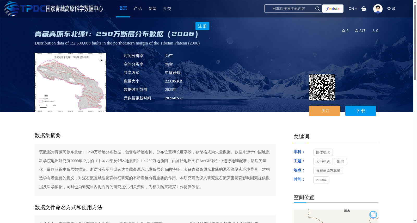
该数据为青藏高原东北缘1:250万断层分布数据,包含各断层名称、分布位置和长度字段,存储格式为矢量数据。数据来源于中国地质科学院地质研究所2006年12月的《中国西部及邻区地质图》1:250万地质图,由原始地质图在ArcGIS软件中进行地理配准,然后矢量化,最终获得本断层数据集。断层分布图可以表达青藏高原东北缘断层分布的特征,表征青藏高原东北缘的泥石流孕灾环境背景,对构造学有着重要的意义,对泥石流区域性发育特征研究的不断发展有着重要的作用。本研究可为深入研究泥石流灾害发育影响因素提供数据及科学依据,同时也为研究区内泥石流的研究提供相关资料,为相关防灾减灾工作提供依据。
This dataset is a 1:2,500,000 scale fault distribution dataset for the northeastern margin of the Tibetan Plateau, which contains fields including fault names, distribution locations and lengths, and is stored in vector data format. The data is derived from the 1:2,500,000 scale *Geological Map of Western China and Its Adjacent Areas* published by the Institute of Geology, Chinese Academy of Geological Sciences in December 2006. The original geological map was georeferenced and vectorized using ArcGIS software to generate this fault dataset. This fault distribution map can reflect the spatial distribution characteristics of faults on the northeastern margin of the Tibetan Plateau, and characterize the disaster-pregnant environmental background for debris flows in this region. It holds great significance for tectonic research and plays an important role in the advancement of studies on regional developmental characteristics of debris flows. This work can provide data and scientific basis for in-depth investigations into the influencing factors of debris flow disaster development, supply relevant materials for research on debris flows within the study area, and offer support for related disaster prevention and mitigation efforts.