中国东北地区北方森林火烧区土壤水热状况及土壤养分监测综合数据集(2016-2022)
收藏国家青藏高原科学数据中心2024-05-30 更新2024-11-30 收录
下载链接:
https://data.tpdc.ac.cn/zh-hans/data/4b82ebe2-909c-48be-ac45-3cb02c84e3a4
下载链接
链接失效反馈官方服务:
资源简介:
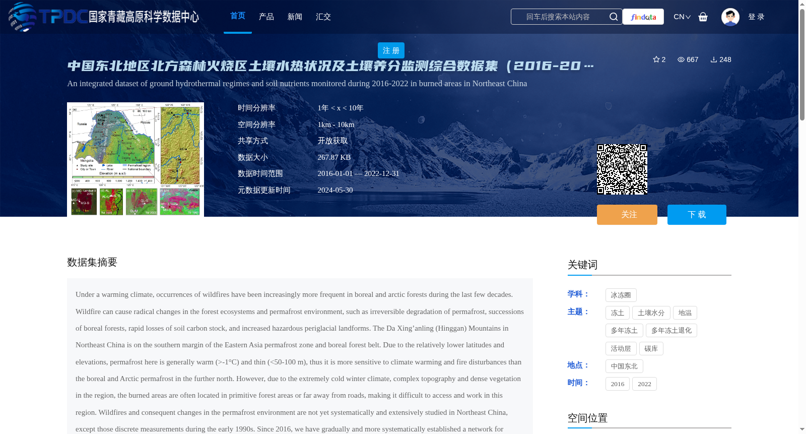
Under a warming climate, occurrences of wildfires have been increasingly more frequent in boreal and arctic forests during the last few decades. Wildfire can cause radical changes in the forest ecosystems and permafrost environment, such as irreversible degradation of permafrost, successions of boreal forests, rapid losses of soil carbon stock, and increased hazardous periglacial landforms. The Da Xing’anling (Hinggan) Mountains in Northeast China is on the southern margin of the Eastern Asia permafrost zone and boreal forest belt. Due to the relatively lower latitudes and elevations, permafrost here is generally warm (>-1°C) and thin (<50-100 m), thus it is more sensitive to climate warming and fire disturbances than the boreal and Arctic permafrost in the further north. However, due to the extremely cold winter climate, complex topography and dense vegetation in the region, the burned areas are often located in primitive forest areas or far away from roads, making it difficult to access and work in this region. Wildfires and consequent changes in the permafrost environment are not yet systematically and extensively studied in Northeast China, except those discrete measurements during the early 1990s. Since 2016, we have gradually and more systematically established a network for studying soil nutrients and for monitoring the hydrothermal state of the active layer and near-surface permafrost in the northern Da Xing’anling Mountains. The dataset of soil moisture content (0-9.4 m in depth), soil organic carbon (0-3.6 m), total nitrogen (0-3.6 m), and total phosphorus and potassium (0-3.6 m) have been obtained by field sampling and ensuing laboratory tests. Datasets of long-term ground temperature (0-20 m) and active layer thickness have been observed by thermistor cables permanently installed in boreholes. Data are meticulously collected, processed, archived and shared. The present data can be used to simulate changes in permafrost features under a changing climate and fire disturbances and to explore the changing interactive mechanisms of the fire-permafrost-carbon system in the hemiboreal forest, as well as to provide validation data for model simulation and improvement. These datasets can provide baseline data for studies and action plan to support the carbon neutralization initiative and for assessment of ecological safety and management of the permafrost environment. In addition, they can also provide validation data for the model simulation and predictions of permafrost changes as induced by wildfires in the boreal permafrost zone.
近数十年来,在气候变暖背景下,寒带(boreal)与北极森林的野火发生频次持续攀升。野火可对森林生态系统与多年冻土(permafrost)环境造成剧烈改变,例如多年冻土不可逆退化、寒带森林群落演替、土壤碳库快速流失,以及危险冰缘地貌数量增加。中国东北大兴安岭(Hinggan Mountains)地处东亚多年冻土带与寒带森林带的南缘。由于该区域纬度与海拔相对偏低,区内多年冻土普遍处于暖态(温度高于-1℃)且厚度较薄(不足50-100米),因此相较于更北部的寒带与北极多年冻土,其对气候变暖及火灾扰动的响应更为敏感。但受区域冬季极端严寒、地形复杂及植被茂密影响,火灾多发区多位于原始林区或远离道路的区域,导致该区域野外作业与实地考察难度极大。目前中国东北地区尚未对野火及其引发的多年冻土环境变化开展系统且广泛的研究,仅在1990年代初期有过零散观测。自2016年起,我们逐步构建了更为系统的研究网络,用于大兴安岭北部地区的土壤养分研究,以及活动层(active layer)与近地表多年冻土的水热状态监测。本数据集包含通过野外采样与后续实验室测试获得的土壤含水率(深度0-9.4米)、土壤有机碳(深度0-3.6米)、总氮(深度0-3.6米),以及总磷与总钾(深度0-3.6米)数据;同时包含通过永久安装于钻孔中的热敏电阻线缆监测得到的长期地温(深度0-20米)与活动层厚度数据集。所有数据均经过严格采集、处理、归档与共享。本数据集可用于模拟气候变暖与火灾扰动下的多年冻土特征变化,探索半寒带森林中野火-多年冻土-碳系统的动态互作机制,同时可为模型模拟与优化提供验证数据。上述数据集可为碳中和相关研究与行动方案提供基础数据支撑,同时可用于多年冻土环境的生态安全评估与管理工作。此外,本数据集还可为寒带多年冻土带野火引发的多年冻土变化模拟与预测模型提供验证依据。
提供机构:
李晓英,金会军
创建时间:
2024-01-01
搜集汇总
数据集介绍
背景与挑战
背景概述
该数据集是一个综合监测数据集,覆盖2016年至2022年,聚焦于中国东北大兴安岭地区北方森林火烧区的土壤水热状况和土壤养分。它包含土壤含水量、土壤有机碳、总氮、总磷、总钾等养分数据,以及长期地温和活动层厚度观测数据,旨在研究火灾和气候变化对多年冻土环境的影响,并为碳中和管理提供基础数据。数据集具有开放获取特性,时间分辨率在1到10年之间,空间分辨率为1公里至10公里,数据量较小(267.87 KB),适用于模拟和验证相关生态模型。
以上内容由遇见数据集搜集并总结生成


