青藏高原地区0.05°遥感降水降尺度数据集(2000-2020)
收藏国家青藏高原科学数据中心2025-03-24 更新2025-03-08 收录
下载链接:
https://data.tpdc.ac.cn/zh-hans/data/1b8a1693-891f-46ea-8333-5cb286c2191b
下载链接
链接失效反馈官方服务:
资源简介:
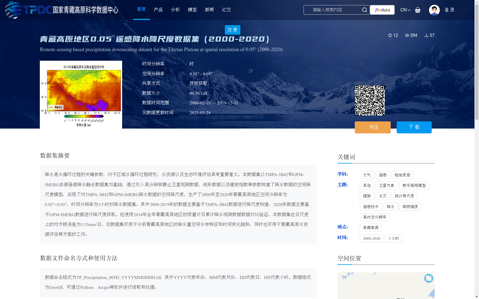
降水是水循环过程的关键参数,对于区域水循环过程研究、水资源以及生态环境评估具有重要意义。本数据集以TMPA-3B42和GPM-IMERG多源遥感降水融合数据集为基础,通过引入高分辨率静止卫星观测数据、地形数据以及植被指数等参数构建了降水数据的空间降尺度模型,实现了对TMPA-3B42和GPM-IMERG降水数据的空间降尺度,生产了2000年至2020年青藏高原地区空间分辨率为0.05°×0.05°,时间分辨率为3小时的降水数据集。其中2000-2019年的数据主要基于TMPA-3B42数据进行降尺度构建,2020年数据主要基于GPM-IMERG数据进行降尺度获取。经使用2014年全年青藏高原地区的雨量计日累计降水观测数据数据对比验证,本数据集在日尺度上的均方根误差为5.53mm/日。该数据集可用于分析青藏高原地区的降水量空间分布特征和时间变化趋势,同时也可用于青藏高原水资源评估等方面的工作。
Precipitation is a critical parameter in the hydrological cycle, which is of great significance for regional hydrological cycle research, water resource and ecological environment assessment. This dataset is based on multi-source remote sensing precipitation fusion datasets TMPA-3B42 and GPM-IMERG. By introducing high-resolution geostationary satellite observation data, topographic data, vegetation index and other auxiliary parameters, a spatial downscaling model for precipitation data was constructed, which realized the spatial downscaling of TMPA-3B42 and GPM-IMERG precipitation data, and produced a precipitation dataset over the Tibetan Plateau from 2000 to 2020 with a spatial resolution of 0.05°×0.05° and a temporal resolution of 3 hours. Specifically, the data from 2000 to 2019 was constructed via downscaling based mainly on TMPA-3B42 data, while the 2020 data was obtained via downscaling based mainly on GPM-IMERG data. Verified by comparing with the daily cumulative precipitation observation data from rain gauges across the Tibetan Plateau throughout 2014, the root mean square error (RMSE) of this dataset on a daily scale is 5.53 mm/day. This dataset can be used to analyze the spatial distribution characteristics and temporal variation trends of precipitation over the Tibetan Plateau, as well as for water resource assessment and other related work on the Tibetan Plateau.
提供机构:
姬大彬
创建时间:
2024-12-30
搜集汇总
数据集介绍
背景与挑战
背景概述
本数据集是青藏高原地区2000年至2020年的高时空分辨率降水数据,基于TMPA-3B42和GPM-IMERG遥感降水数据,通过降尺度模型融合高分辨率卫星、地形和植被指数等参数,生成空间分辨率为0.05°、时间分辨率为3小时的降水产品。数据集经实测验证日尺度误差为5.53mm/日,适用于分析降水时空分布特征和水资源评估,支持Geotiff格式处理。
以上内容由遇见数据集搜集并总结生成


