青藏高原冰川融水径流数据(2020)
收藏资源简介:
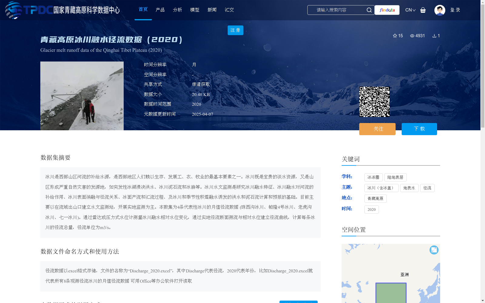
冰川是西部山区河流的补给水源,是西部地区人们赖以生存、发展工、农、牧业的最基本要素之一。冰川既是宝贵的淡水资源,又是山区形成严重自然灾害的发源地,如突发性冰湖溃决洪水、冰川泥石流和冰崩等。冰川水文监测是研究冰川融水特征、冰川融水对河流的补给作用、冰川表面消融与径流关系、冰面产流和汇流过程、及冰川和季节性积雪融水诱发的洪水和泥石流计算和预报的基础。目前主要以在流域出山口建立水文监测站,开展实地监测为主。本数集为4条代表性冰川的月值径流数据 (珠西沟冰川、帕隆4号冰川、老虎沟冰川、七一冰川)。通过雷达或压力式水位计测量冰川融水相对水位变化,通过实地径流断面测流与相对水位建立径流曲线,计算每条冰川的径流总量,径流单位为m3/s。
Glaciers serve as the recharge source for rivers in the mountainous areas of western China, and are one of the most fundamental elements for the survival of local residents and the development of industry, agriculture and animal husbandry in western regions. Glaciers are not only valuable freshwater resources, but also the origin of severe natural disasters in mountainous areas, such as sudden glacial lake outburst floods (GLOFs), glacial debris flows and ice avalanches. Glacier hydrological monitoring is the foundation for researching the characteristics of glacial meltwater, the recharge effect of glacial meltwater on rivers, the relationship between glacier surface ablation and runoff, the surface runoff generation and confluence processes on glaciers, as well as the calculation and forecasting of floods and debris flows induced by glacial and seasonal snowmelt. Currently, the primary monitoring approach is to establish hydrological monitoring stations at the mountain passes of river basins to carry out field observations. This dataset contains monthly runoff data from four representative glaciers: Zhuxigou Glacier, Palong No.4 Glacier, Laohugou Glacier and Qiyi Glacier. The relative water level changes of glacial meltwater are measured using radar or pressure-type water level gauges. Runoff curves are established by correlating field runoff section measurements with relative water level data, and the total runoff of each glacier is calculated, with the unit of runoff being m³/s.