河南省1:500万灾害地质类型分布图(1991年)
收藏国家地球系统科学数据中心2021-11-25 更新2024-03-04 收录
下载链接:
https://www.geodata.cn/data/datadetails.html?dataguid=5594155&docId=10607
下载链接
链接失效反馈官方服务:
资源简介:
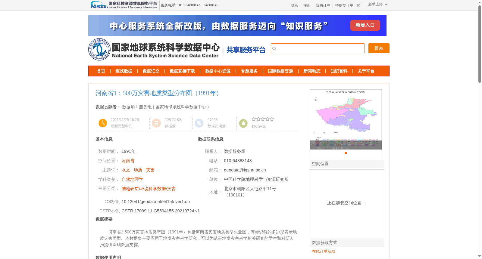
河南省1:500万灾害地质类型图(1991年)包括河南省灾害地质类型矢量图,有标识符的多边形表示地质灾害类型。本数据集主要应用于地质灾害科学研究,可以为从事地质灾害科学相关研究的学生和科研人员提供基础数据支撑。
1:5,000,000 Geological Hazard Type Map of Henan Province (1991) includes the vector map of geological hazard types in Henan Province, where polygons with identifiers represent different geological hazard types. This dataset is primarily used for scientific research on geological hazards, providing basic data support for students and researchers engaged in relevant studies on geological hazard science.
提供机构:
国家地球系统科学数据中心
创建时间:
2021-07-24
搜集汇总
数据集介绍
背景与挑战
背景概述
该数据集提供了1991年河南省1:500万比例的灾害地质类型矢量图,适用于地质灾害科学研究,数据质量经过严格审查,可靠度高。
以上内容由遇见数据集搜集并总结生成


