粤港澳大湾区滩涂资源分布图
收藏南海海洋数据中心2024-03-01 收录
下载链接:
https://data.scsio.ac.cn/metaData-detail/1465979820536442880
下载链接
链接失效反馈官方服务:
资源简介:
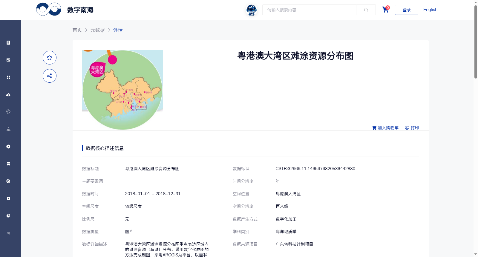
粤港澳大湾区滩涂资源分布图重点表达区域内的滩涂资源(海滩)分布。采用数字化成图的方法完成制图,采用ARCGIS为平台,以面状要素为形式表达粤港澳大湾区的滩涂分布。
The tidal flat resource distribution map of the Guangdong-Hong Kong-Macao Greater Bay Area (GBA) primarily focuses on illustrating the distribution of tidal flat resources (beaches) within the GBA. The cartography was completed using digital mapping techniques, with ArcGIS as the software platform, and the tidal flat distribution of the GBA is represented via polygonal features.
提供机构:
广州海洋地质调查局
搜集汇总
数据集介绍
背景与挑战
背景概述
该数据集是2018年粤港澳大湾区滩涂资源分布图,以百米级空间分辨率展示滩涂(海滩)的地理分布,采用数字化成图方法生成图片格式数据。数据集由广州海洋地质调查局生产,属于海洋地质学领域,数据质量可靠,适用于区域资源分析和环境研究。
以上内容由遇见数据集搜集并总结生成


