青海湖流域高寒草甸站点土壤活动层逐时温湿度数据集(2018-2021)
收藏资源简介:
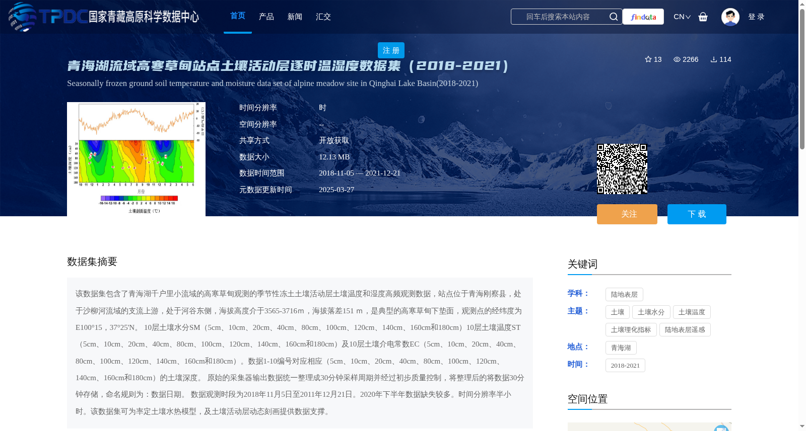
该数据集包含了青海湖千户里小流域的高寒草甸观测的季节性冻土土壤活动层土壤温度和湿度高频观测数据,站点位于青海刚察县,处于沙柳河流域的支流上游,处于河谷东侧,海拔高度介于3565-3716m,海拔落差151 m,是典型的高寒草甸下垫面,观测点的经纬度为E100°15,37°25'N。 10层土壤水分SM(5cm、10cm、20cm、40cm、80cm、100cm、120cm、140cm、160cm和180cm)10层土壤温度ST(5cm、10cm、20cm、40cm、80cm、100cm、120cm、140cm、160cm和180cm)及10层土壤介电常数EC(5cm、10cm、20cm、40cm、80cm、100cm、120cm、140cm、160cm和180cm)。数据1-10编号对应相应(5cm、10cm、20cm、40cm、80cm、100cm、120cm、140cm、160cm和180cm)的土壤深度。 原始的采集器输出数据统一整理成30分钟采样周期并经过初步质量控制,将整理后的将数据30分钟存储,命名规则为:数据日期。 数据观测时段为2018年11月5日至2011年12月21日。2020年下半年数据缺失较多。时间分辨率半小时。该数据集可为率定土壤水热模型,及土壤活动层动态刻画提供数据支撑。
This dataset contains high-frequency observational data of soil temperature and moisture in the active layer of seasonally frozen ground from the alpine meadow in the Qianhuli small watershed of Qinghai Lake. The observation site is located in Gangcha County, Qinghai, at the upper reaches of a tributary of the Shaliu River, on the eastern side of the river valley, with an elevation ranging from 3565 m to 3716 m and an elevation difference of 151 m. It is a typical underlying surface of alpine meadow. The coordinates of the observation point are E100°15', 37°25'N. There are 10 layers of soil moisture (SM), soil temperature (ST), and soil dielectric constant (EC) at depths of 5 cm, 10 cm, 20 cm, 40 cm, 80 cm, 100 cm, 120 cm, 140 cm, 160 cm and 180 cm, respectively. The data IDs 1 to 10 correspond to the soil depths of 5 cm, 10 cm, 20 cm, 40 cm, 80 cm, 100 cm, 120 cm, 140 cm, 160 cm and 180 cm in sequence. The originally collected output data was uniformly adjusted to a 30-minute sampling cycle and underwent preliminary quality control. The processed data is stored at 30-minute intervals, with the file naming rule being: data date. The data observation period was from November 5, 2018 to December 21, 2011. A large amount of data was missing in the second half of 2020. The temporal resolution of the dataset is 30 minutes. This dataset can provide data support for calibrating soil water-heat models and characterizing the dynamics of the soil active layer.