RSC: 2025年3月28日缅甸地震震中位置数据
收藏国家青藏高原科学数据中心2025-03-30 更新2025-03-29 收录
下载链接:
https://data.tpdc.ac.cn/zh-hans/data/94527372-447c-4e76-9624-867aff9bc295
下载链接
链接失效反馈官方服务:
资源简介:
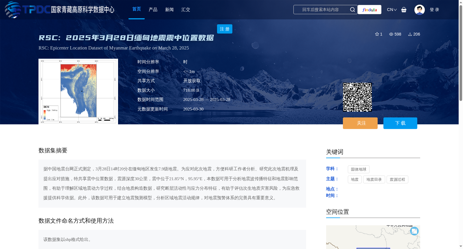
据中国地震台网正式测定,3月28日14时20分在缅甸地区发生7.9级地震。为应对此次地震,方便科研工作者分析、研究此次地震机理及提出应对措施,特共享震中位置数据,震源深度30公里,震中位于21.85°N,95.95°E,本数据可用于分析地震波传播特征和地震影响范围,有助于理解区域地震动力学过程,结合地质构造数据,研究断层活动性与应力分布特征,有助于评估次生地质灾害风险,为应急救援提供科学依据。此外,该数据可用于建立地震预测模型,分析区域地震活动规律,对地震预警体系的完善具有重要意义。
Officially confirmed by the China Earthquake Networks Center, a magnitude 7.9 earthquake occurred in the Myanmar region at 14:20 on March 28. To address this earthquake and facilitate researchers' analysis and study of the earthquake mechanism as well as the formulation of response measures, the epicenter location data is hereby shared. The hypocentral depth is 30 km, and the epicenter is located at 21.85°N, 95.95°E. This dataset can be used to analyze seismic wave propagation characteristics and earthquake impact scope, which helps to understand regional seismic dynamic processes. Combined with geological structure data, it can support the study of fault activity and stress distribution characteristics, assist in assessing the risk of secondary geological disasters, and provide scientific basis for emergency rescue. In addition, this dataset can be used to establish earthquake prediction models and analyze regional seismic activity patterns, which is of great significance for improving the earthquake early warning system.
提供机构:
李虎
创建时间:
2025-03-28
搜集汇总
数据集介绍
背景与挑战
背景概述
该数据集提供了2025年3月28日缅甸7.9级地震的震中位置数据,震源深度30公里,震中位于21.85°N,95.95°E,数据以shp格式提供,可用于地震机理研究、地震波传播特征分析及地震预警体系的完善。
以上内容由遇见数据集搜集并总结生成


