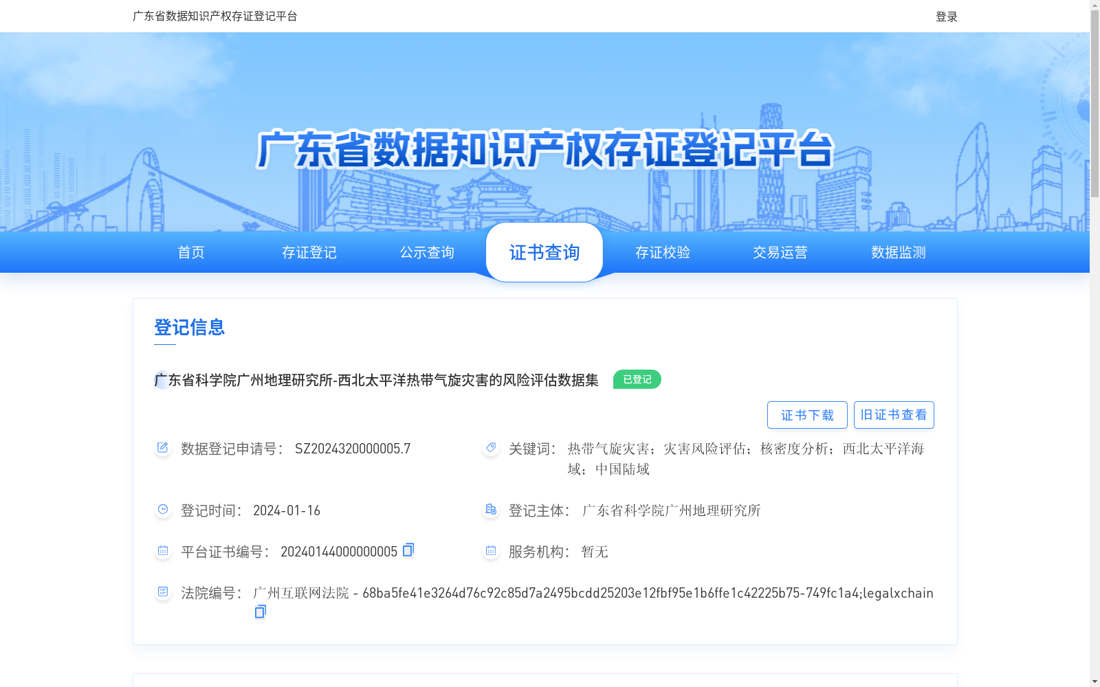
广东省科学院广州地理研究所-西北太平洋热带气旋灾害的风险评估数据集
收藏资源简介:
《西北太平洋热带气旋灾害的风险评估数据集》是利用大数据分析手段和地理信息技术、运算得到1980-2022年间西北太平洋(含南海,赤道以北,东经180°以西)海域生成的热带气旋灾害对西北太平洋海域的累计灾害影响以及对中国陆域的侵扰次数。该数据集的时间尺度为1980–2022年,研究区域为西北太平洋海域及中国陆域地区,空间分辨率为20km;数据格式存储为.xlsx的表格格式。该数据集可应用于深远海养殖和捕捞、海上航运、海上风电、海上油气、海上应急等的灾害风险评估和预警,有助于完善我国防灾减灾救灾体系,对开展海陆综合防治热带气旋灾害、促进海洋经济高质量发展有重要意义。
Risk Assessment Dataset of Tropical Cyclone Disasters in the Northwest Pacific Ocean This dataset is developed through big data analysis, geographic information technologies and computational methods, and documents two aspects of tropical cyclone disasters occurring in the Northwest Pacific Ocean (including the South China Sea, north of the equator, west of 180° east longitude) from 1980 to 2022: the cumulative disaster impacts on the Northwest Pacific Ocean itself, and the frequency of the cyclones' landfall in China's mainland. The dataset has a temporal coverage of 1980–2022, with the study area covering the Northwest Pacific Ocean and China's mainland, and a spatial resolution of 20 km. All data are stored in .xlsx tabular format. This dataset can be utilized for disaster risk assessment and early warning in scenarios such as deep-sea aquaculture and fishing, maritime shipping, offshore wind power, offshore oil and gas, and maritime emergency response. It contributes to improving China's disaster prevention, mitigation and relief system, and is of great significance for carrying out comprehensive land-sea prevention and control of tropical cyclone disasters and promoting high-quality development of the marine economy.