黑河流域中游河道部分断面流量水位估算数据集(1979-2014)
收藏国家青藏高原科学数据中心2021-04-19 更新2024-03-06 收录
下载链接:
https://data.tpdc.ac.cn/zh-hans/data/9fb70559-fe79-4f99-ba11-3f02cdd184b0
下载链接
链接失效反馈官方服务:
资源简介:
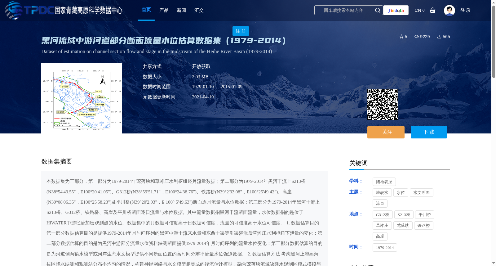
本数据集为三部分,第一部分为1979-2014年莺落峡和草滩庄水利枢纽逐月流量数据;第二部分为1979-2014年黑河干流上S213桥(N38°54'43.55",E100°20'41.05")、G312桥(N38°59′51.71″,E100°24′38.76″)、铁路桥(N39°2'33.08",E100°25'49.42")、高崖(N39°08'06.35",E100°25'58.23")及平川桥(N39°20'2.03",E 100° 5'49.63")断面逐月流量与水位数据;第三部分为1979-2014年黑河干流上S213桥、G312桥、铁路桥、高崖及平川桥断面逐日流量与水位数据。其中流量数据指黑河干流断面流量,水位数据指的是位于HiWATER中游径流加密观测点的水位。数据集中的月数据可信度高于日数据可信度,流量的可信度高于水位可信度。
1. 数据估算目的
第一部分数据估算目的是提供1979-2014年月时间序列的黑河中游干流来水量和东西干渠等引渠灌溉后草滩庄水利枢纽下泄量的变化;第二部分数据估算的目的是为黑河中游部分流量水位资料缺测断面提供1979-2014年月时间序列的流量水位变化;第三部分数据估算的目的是为河道侧向输水模型或河岸生态水文模型提供不同断面位置的高时间分辨率流量水位强迫数据。
2. 数据估算方法
考虑黑河上游高海拔区降水缺测和观测站分布不均匀的情况,构建神经网络与水文模型相集成的径流估计模型,融合莺落峡流域缺降水观测区模式模拟与站点观测降水得到2001-2010年模拟月径流,联合2011-2014年南卓铜等用SWAT模拟的月径流与收集的1979-2010年月径流资料以及1979-2014年观测年径流,经数据校正和模拟与观测的相互验证,得到1979-2014年莺落峡水文断面逐月流量。基于此流量及其与草滩庄水利枢纽下泄量的统计关系,考虑灌渠引水、不同河道渗漏方案及“九七”分水方案的影响,重建草滩庄、S213桥、G312桥及铁路桥断面月流量;由铁路桥断面估算与高崖断面观测(1981-2008年)月流量的高度相关关系,结合高崖断面年流量观测,插补校正得到1979-2014年高崖断面月流量;利用高崖与正义峡观测的年流量、灌渠引水量、河道蒸发、支流入干量估算单长河道年溢出量,并基于HiWATER观测年内月变化计算平川桥断面月流量;最后根据HiWATER提供的各月内流量水位变化及部分断面流量-水位关系,估算黑河中游S213桥、G312桥、铁路桥、高崖及平川桥断面1979-2014年的日流量与逐月、日水位,为河流输水的生态水文效应等研究提供高时间分辨率的数据支撑。
This dataset is composed of three parts. The first part contains monthly streamflow data of the Yingluoxia and Caotanzhuang water control projects from 1979 to 2014. The second part covers monthly streamflow and water level data of five sections on the main stream of the Heihe River from 1979 to 2014, namely S213 Bridge (N38°54'43.55", E100°20'41.05"), G312 Bridge (N38°59'51.71", E100°24'38.76"), Railway Bridge (N39°2'33.08", E100°25'49.42"), Gaoya Section (N39°08'06.35", E100°25'58.23"), and Pingchuan Bridge (N39°20'2.03", E100°5'49.63"). The third part contains daily streamflow and water level data of the above five sections on the main stream of the Heihe River from 1979 to 2014. Among them, the streamflow data refers to the mainstream streamflow of the Heihe River, and the water level data refers to the water level at the midstream runoff intensive observation sites of HiWATER. The reliability of monthly data in the dataset is higher than that of daily data, and the reliability of streamflow data is higher than that of water level data.
1. Purpose of Data Estimation
The purpose of the first part of data estimation is to provide the 1979-2014 monthly time series of inflow to the middle mainstream of the Heihe River and the variation of downstream discharge at Caotanzhuang water control project after irrigation water diversion from the east and west main canals and other canals. The purpose of the second part of data estimation is to provide 1979-2014 monthly time series of streamflow and water level variations for sections with missing observed streamflow and water level data in the middle reaches of the Heihe River. The purpose of the third part of data estimation is to provide high-temporal-resolution streamflow and water level forcing data for different section locations for river lateral water transfer models or riparian ecohydrological models.
2. Data Estimation Method
Considering the missing precipitation observations and uneven distribution of observation stations in the high-altitude upper reaches of the Heihe River, a runoff estimation model integrating neural networks and hydrological models was constructed. Merging the simulated monthly runoff from 2001 to 2010 obtained by combining model simulation and station-observed precipitation in the precipitation observation-deficient areas of the Yingluoxia Basin, combining the SWAT-simulated monthly runoff from 2011 to 2014 by Nan Zhuotong et al., the collected monthly runoff data from 1979 to 2010, and the observed annual runoff from 1979 to 2014, the monthly streamflow at the Yingluoxia hydrological section from 1979 to 2014 was obtained after data correction and mutual verification between simulation and observation. Based on this streamflow and its statistical relationship with the downstream discharge of Caotanzhuang water control project, considering the impacts of canal water diversion, different river seepage schemes and the "1997" water distribution scheme, the monthly streamflow of Caotanzhuang, S213 Bridge, G312 Bridge and Railway Bridge sections was reconstructed. Based on the high correlation between the estimated streamflow of the Railway Bridge section and the observed monthly streamflow of the Gaoya Section (1981-2008), combined with the annual streamflow observations of the Gaoya Section, the monthly streamflow of the Gaoya Section from 1979 to 2014 was interpolated and corrected. The annual overflow volume of the single long river channel was estimated using the annual streamflow observed at Gaoya and Zhengyixia, canal water diversion, river evaporation and tributary inflow to the mainstream, and the monthly streamflow of the Pingchuan Bridge section was calculated based on the monthly variations observed by HiWATER. Finally, according to the monthly streamflow and water level variations provided by HiWATER and the streamflow-water level relationships of some sections, the daily streamflow, monthly and daily water level of the five sections (S213 Bridge, G312 Bridge, Railway Bridge, Gaoya Section and Pingchuan Bridge) on the middle reaches of the Heihe River from 1979 to 2014 were estimated, providing high-temporal-resolution data support for studies such as the ecohydrological effects of river water transfer.
提供机构:
谢正辉
创建时间:
2016-01-20
搜集汇总
数据集介绍
背景与挑战
背景概述
该数据集提供了黑河流域中游河道部分断面1979年至2014年的流量和水位估算数据,分为莺落峡和草滩庄水利枢纽的逐月流量、五个断面的逐月流量与水位以及这些断面的逐日流量与水位三部分。数据通过神经网络与水文模型集成方法估算,旨在支持河流输水生态水文效应研究,月数据可信度高于日数据,流量可信度高于水位。
以上内容由遇见数据集搜集并总结生成


