
广东海岸带地质图(1:150万)
收藏南海海洋数据中心2024-03-01 收录
官方服务:
资源简介:
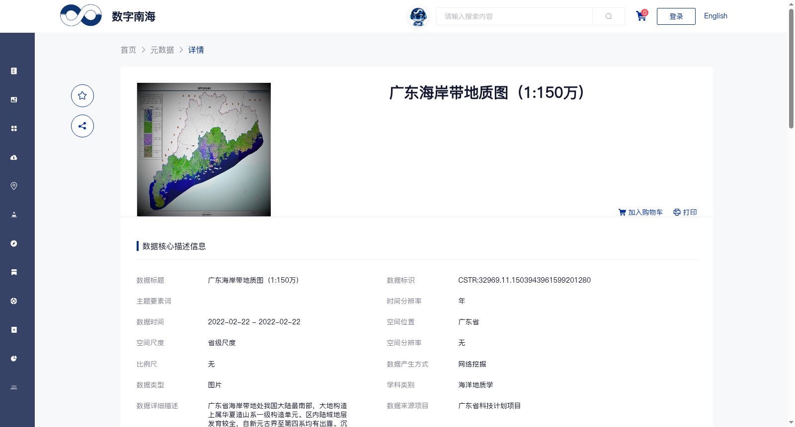
广东省海岸带地处我国大陆最南部,大地构造上属华夏造山系一级构造单元。区内陆域地层发育较全,自新元古界至第四系均有出露。沉积建造类型复杂,赋存各类沉积矿产,尤其是海域油气藏远景较大。
The coastal zone of Guangdong Province, located at the southernmost tip of China's mainland, geotectonically belongs to the first-order tectonic unit of the Cathaysian Orogenic System. The terrestrial stratigraphy in this region is relatively well-developed, with outcrops spanning from the Neoproterozoic to the Quaternary. The sedimentary successions are complex in type, hosting various sedimentary mineral resources, especially offshore oil and gas reservoirs with considerable exploration prospects.
提供机构:
广州海洋地质调查局搜集汇总
数据集介绍
背景与挑战
背景概述
该数据集是2022年发布的广东省海岸带地质图,比例尺为1:150万,属于海洋地质学学科。它通过图件网络挖掘整合生产,质量可靠,覆盖广东省海岸带的地质构造、地层发育和矿产潜力,特别是海域油气资源远景。数据由广州海洋地质调查局贡献,中国科学院南海海洋研究所负责,完全开放共享。
以上内容由遇见数据集搜集并总结生成


