2013–2022年福建漳江口互花米草分布无人机遥感数据集
收藏国家生态科学数据中心2024-03-04 收录
下载链接:
http://www.nesdc.org.cn/sdo/detail?id=64edb1b87e281719e42aa91b
下载链接
链接失效反馈官方服务:
资源简介:
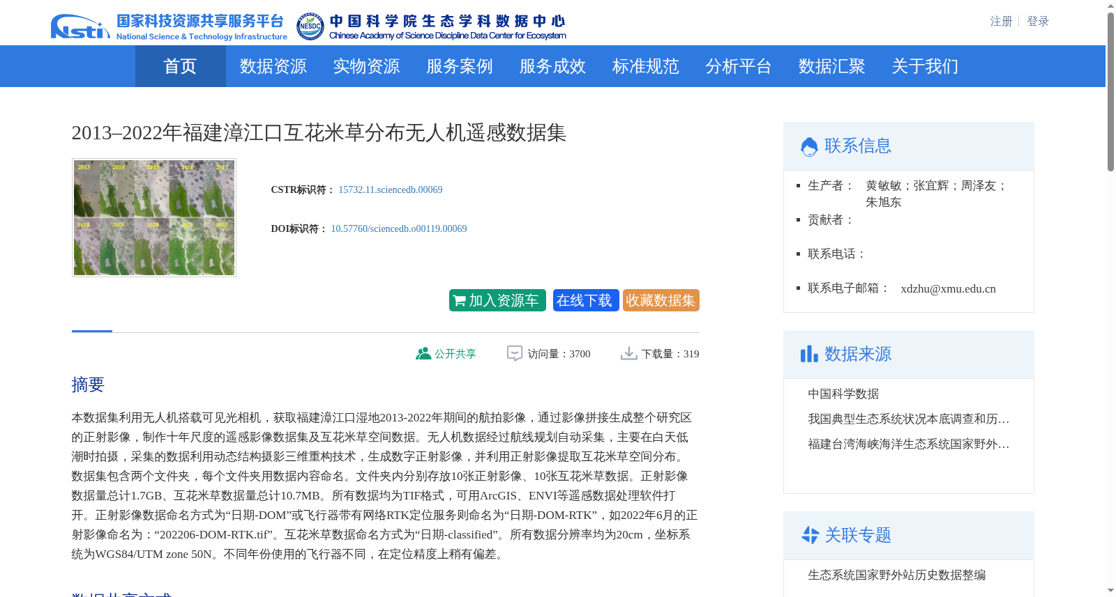
本数据集利用无人机搭载可见光相机,获取福建漳江口湿地2013-2022年期间的航拍影像,通过影像拼接生成整个研究区的正射影像,制作十年尺度的遥感影像数据集及互花米草空间数据。无人机数据经过航线规划自动采集,主要在白天低潮时拍摄,采集的数据利用动态结构摄影三维重构技术,生成数字正射影像,并利用正射影像提取互花米草空间分布。数据集包含两个文件夹,每个文件夹用数据内容命名。文件夹内分别存放10张正射影像、10张互花米草数据。正射影像数据量总计1.7GB、互花米草数据量总计10.7MB。所有数据均为TIF格式,可用ArcGIS、ENVI等遥感数据处理软件打开。正射影像数据命名方式为“日期-DOM”或飞行器带有网络RTK定位服务则命名为“日期-DOM-RTK”,如2022年6月的正射影像命名为:“202206-DOM-RTK.tif”。互花米草数据命名方式为“日期-classified”。所有数据分辨率均为20cm,坐标系统为WGS84/UTM zone 50N。不同年份使用的飞行器不同,在定位精度上稍有偏差。
This dataset acquired aerial imagery of the Zhangjiang Estuary Wetland in Fujian Province from 2013 to 2022 using visible light cameras mounted on unmanned aerial vehicles (UAVs). Orthorectified images of the entire study area were generated via image mosaicking, and a 10-year-scale remote sensing imagery dataset and spatial data of *Spartina alterniflora* were developed. The UAV data were automatically collected via flight route planning, mainly captured during low tide in the daytime. The collected data were processed using dynamic structure-from-motion (SfM) 3D reconstruction technology to generate digital orthophoto maps (DOMs), and the spatial distribution of *Spartina alterniflora* was extracted from the DOMs. The dataset contains two folders, each named after its contained data type. The folders store 10 orthophoto images and 10 *Spartina alterniflora* spatial datasets respectively. The total data volume of the orthophoto images is 1.7 GB, while that of the *Spartina alterniflora* spatial datasets is 10.7 MB. All data are in TIF format and can be opened with remote sensing data processing software such as ArcGIS and ENVI. The orthophoto images are named in the format of "date-DOM" or "date-DOM-RTK" if the UAV is equipped with network RTK positioning service. For example, the orthophoto image from June 2022 is named "202206-DOM-RTK.tif". The *Spartina alterniflora* spatial datasets are named in the format of "date-classified". All data have a spatial resolution of 20 cm and use the WGS84/UTM zone 50N coordinate system. Different UAV models were used in different years, resulting in slight deviations in positioning accuracy.
创建时间:
2023-07-26
搜集汇总
数据集介绍
背景与挑战
背景概述
该数据集是一个基于无人机遥感技术获取的长期监测数据集,覆盖2013年至2022年福建漳江口湿地的互花米草分布情况。数据集包含10年的正射影像和互花米草空间数据,分辨率高达20厘米,采用WGS84/UTM zone 50N坐标系,适用于生态学研究和遥感分析。数据以TIF格式存储,可通过ArcGIS、ENVI等专业软件处理,主要用于滨海湿地生态系统的互花米草入侵监测和空间分布分析。
以上内容由遇见数据集搜集并总结生成


