青藏高原重点城市无人机遥感影像(2020-2023年)
收藏国家青藏高原科学数据中心2025-04-15 更新2025-06-07 收录
下载链接:
https://data.tpdc.ac.cn/zh-hans/data/f25a86e5-50a0-420d-9a16-90c5734bdbab
下载链接
链接失效反馈官方服务:
资源简介:
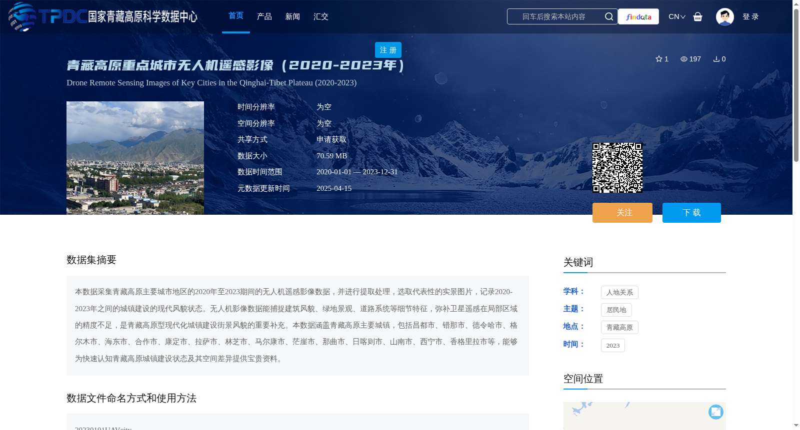
本数据采集青藏高原主要城市地区的2020年至2023期间的无人机遥感影像数据,并进行提取处理,选取代表性的实景图片,记录2020-2023年之间的城镇建设的现代风貌状态。无人机影像数据能捕捉建筑风貌、绿地景观、道路系统等细节特征,弥补卫星遥感在局部区域的精度不足,是青藏高原型现代化城镇建设街景风貌的重要补充。本数据涵盖青藏高原主要城镇,包括昌都市、错那市、德令哈市、格尔木市、海东市、合作市、康定市、拉萨市、林芝市、马尔康市、茫崖市、那曲市、日喀则市、山南市、西宁市、香格里拉市等,能够为快速认知青藏高原城镇建设状态及其空间差异提供宝贵资料。
This dataset collects UAV remote sensing imagery from major urban areas of the Qinghai-Tibet Plateau between 2020 and 2023, followed by extraction and processing. Representative real-scene images are selected to document the modern appearance and development status of urban construction during this period. UAV remote sensing imagery can capture detailed features including building styles, green space landscapes, and road systems, compensating for the accuracy limitations of satellite remote sensing in local areas, thus serving as an important supplement to the streetscape characteristics of modern urban construction on the Qinghai-Tibet Plateau. This dataset covers major towns across the Qinghai-Tibet Plateau, such as Qamdo, Cuona, Delingha, Golmud, Haidong, Hezuo, Kangding, Lhasa, Nyingchi, Barkam, Mangnai, Nagqu, Xigazê, Shannan, Xining, and Shangri-La, providing valuable data for rapidly understanding the urban construction status and their spatial differences on the Qinghai-Tibet Plateau.
提供机构:
戚伟
创建时间:
2024-10-31
搜集汇总
数据集介绍
背景与挑战
背景概述
该数据集包含2020年至2023年青藏高原重点城市(如昌都市、拉萨市等)的无人机遥感影像,数据大小为70.59 MB,通过申请共享获取。无人机影像能高精度捕捉建筑风貌、绿地景观和道路系统等细节,旨在记录城镇建设的现代风貌,弥补卫星遥感在局部区域的精度不足,为研究青藏高原城镇建设状态和空间差异提供重要资料。
以上内容由遇见数据集搜集并总结生成


