可可西里热融沉陷分布数据(2018-2019)
收藏国家青藏高原科学数据中心2023-01-17 更新2024-03-06 收录
下载链接:
https://data.tpdc.ac.cn/zh-hans/data/c57a9ae6-6f06-40a8-989d-131ae8aec415
下载链接
链接失效反馈官方服务:
资源简介:
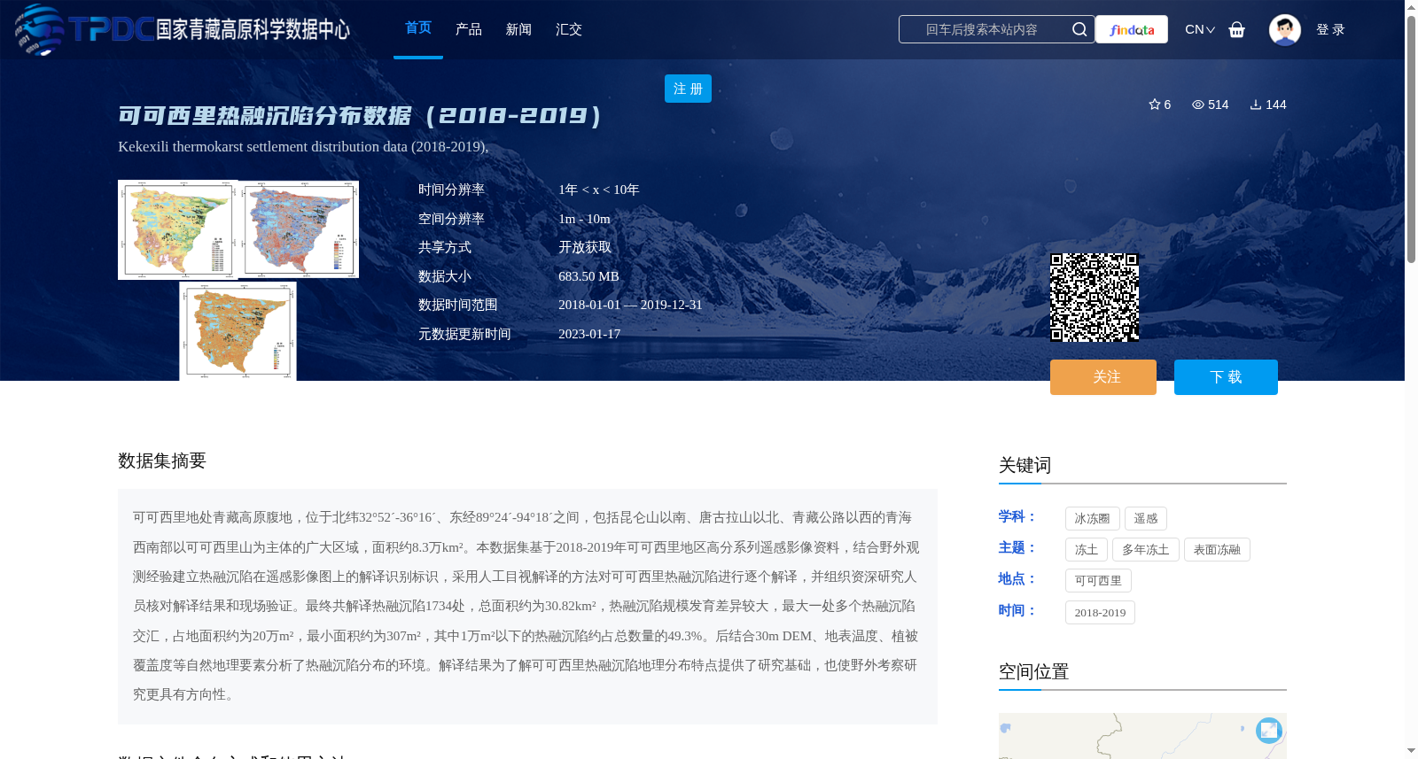
可可西里地处青藏高原腹地,位于北纬32°52´-36°16´、东经89°24´-94°18´之间,包括昆仑山以南、唐古拉山以北、青藏公路以西的青海西南部以可可西里山为主体的广大区域,面积约8.3万km²。本数据集基于2018-2019年可可西里地区高分系列遥感影像资料,结合野外观测经验建立热融沉陷在遥感影像图上的解译识别标识,采用人工目视解译的方法对可可西里热融沉陷进行逐个解译,并组织资深研究人员核对解译结果和现场验证。最终共解译热融沉陷1734处,总面积约为30.82km²,热融沉陷规模发育差异较大,最大一处多个热融沉陷交汇,占地面积约为20万m²,最小面积约为307m²,其中1万m²以下的热融沉陷约占总数量的49.3%。后结合30m DEM、地表温度、植被覆盖度等自然地理要素分析了热融沉陷分布的环境。解译结果为了解可可西里热融沉陷地理分布特点提供了研究基础,也使野外考察研究更具有方向性。
Hoh Xil is located in the hinterland of the Qinghai-Tibet Plateau, between 32°52′N to 36°16′N and 89°24′E to 94°18′E. It covers the vast area dominated by the Hoh Xil Mountains in southwestern Qinghai Province, south of the Kunlun Mountains, north of the Tanggula Mountains and west of the Qinghai-Tibet Highway, with a total area of approximately 83,000 km². This dataset was constructed using GF series remote sensing imagery of the Hoh Xil region acquired between 2018 and 2019. Combined with field observation experience, we established interpretation and recognition markers for thermokarst depressions on remote sensing images, conducted one-by-one manual visual interpretation of each thermokarst depression in the Hoh Xil region, and organized senior researchers to validate the interpretation results through on-site verification. In total, 1,734 thermokarst depressions were identified via interpretation, with a combined total area of approximately 30.82 km². The sizes of these depressions vary considerably: the largest cluster, where multiple depressions converge, covers an area of around 200,000 m², while the smallest is merely 307 m². Thermokarst depressions with an area of less than 10,000 m² account for roughly 49.3% of the total number of identified features. Subsequently, we analyzed the environmental conditions associated with the distribution of thermokarst depressions by incorporating physical geographic factors including 30 m digital elevation model (DEM), land surface temperature (LST), and vegetation coverage. The interpretation results serve as a foundational research resource for understanding the geographical distribution patterns of thermokarst depressions in Hoh Xil, and provide more targeted guidance for subsequent field investigations and related studies.
提供机构:
林战举,范星文,姚苗苗
创建时间:
2022-12-12
搜集汇总
数据集介绍
背景与挑战
背景概述
该数据集基于2018-2019年可可西里地区高分遥感影像,通过人工目视解译方法,识别并记录了1734处热融沉陷分布,总面积约30.82 km²,规模差异显著,最大面积达20万m²,最小为307 m²。数据结合了DEM、地表温度等环境要素分析,为研究青藏高原冻土热融沉陷的地理分布和环境响应提供了基础支持,适用于冰冻圈科学和遥感应用领域。
以上内容由遇见数据集搜集并总结生成


