2020年中西亚30m Landsat TM/OLI人工绿洲分布数据集
收藏资源简介:
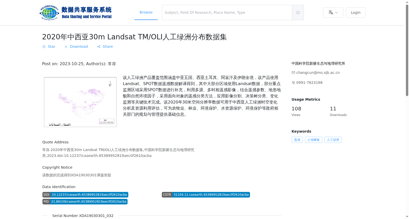
该人工绿洲产品覆盖范围涵盖中亚五国、西亚土耳其、阿富汗及伊朗全境,该产品使用Landsat、SPOT数据遥感数据解译得到,其中大部分区域使用Landsat数据,部分重点监测区域采用SPOT数据进行补充,利用多源、多时相遥感影像,结合遥感参数、地形地貌和自然环境因子,采用面向对象的遥感分类方法,应用影像分割、决策树分类、变化监测等关键技术完成。该2020年30米空间分辨率数据可用于中西亚人工绿洲时空变化分析及资源利用评估,可为农牧业、林业、环境保护、水资源保护、环境保护等政府相关部门的规划与管理提供基础信息。
This artificial oasis dataset covers the entire territories of the five Central Asian countries, Turkey in West Asia, Afghanistan and Iran. It was interpreted and produced using Landsat and SPOT remote sensing data, where most regions adopt Landsat data, while key monitoring areas are supplemented with SPOT data. The production leverages multi-source and multi-temporal remote sensing imagery, combined with remote sensing parameters, topographic and geomorphic features, and natural environmental factors, adopting object-oriented remote sensing classification methods and applying key technologies including image segmentation, decision tree classification, and change detection. This 30-meter spatial resolution dataset from 2020 can be applied to spatiotemporal change analysis of artificial oases in Central and West Asia and resource utilization assessment, providing basic information for the planning and management of relevant government departments in agriculture, animal husbandry, forestry, environmental protection, and water resources conservation.