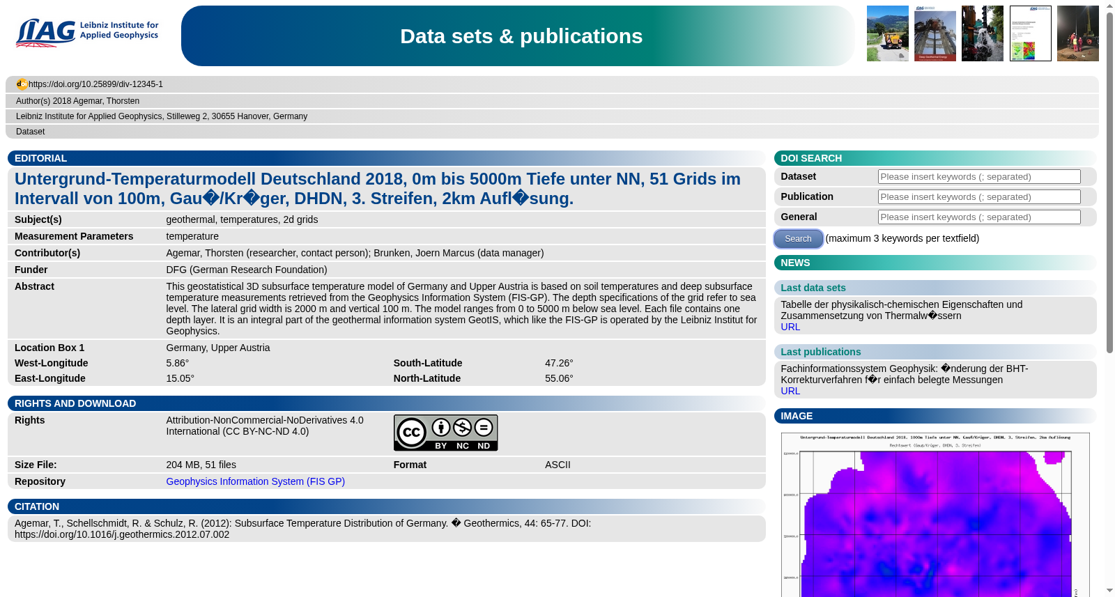
Untergrund-Temperaturmodell Deutschland 2018, 0m bis 5000m Tiefe unter NN, 51 Grids im Intervall von 100m, Gauß/Krüger, DHDN, 3. Streifen, 2km Auflösung.
收藏资源简介:
This geostatistical 3D subsurface temperature model of Germany and Upper Austria is based on soil temperatures and deep subsurface temperature measurements retrieved from the Geophysics Information System (FIS-GP). The depth specifications of the grid refer to sea level. The lateral grid width is 2000 m and vertical 100 m. The model ranges from 0 to 5000 m below sea level. Each file contains one depth layer. It is an integral part of the geothermal information system GeotIS, which like the FIS-GP is operated by the Leibniz Institut for Geophysics.
这份面向德国与上奥地利地区的地质统计三维地下温度模型,其数据源自地球物理信息系统(Geophysics Information System, FIS-GP)收录的土壤温度及深部地下温度测量数据。该网格的深度基准为海平面,横向网格单元宽度为2000米,纵向网格单元宽度为100米,模型的深度覆盖范围为海平面以下0至5000米。每个文件对应一个深度层。本模型是地热信息系统GeotIS的核心组成部分,该系统与FIS-GP一样,均由莱布尼茨地球物理研究所(Leibniz Institut for Geophysics)负责运营维护。