2000-2021年河套灌区30m分辨率土地利用及种植结构数据集
收藏国家生态科学数据中心2026-01-03 收录
下载链接:
http://www.nesdc.org.cn/sdo/detail?id=694e0bb67e28174acd8c9874
下载链接
链接失效反馈官方服务:
资源简介:
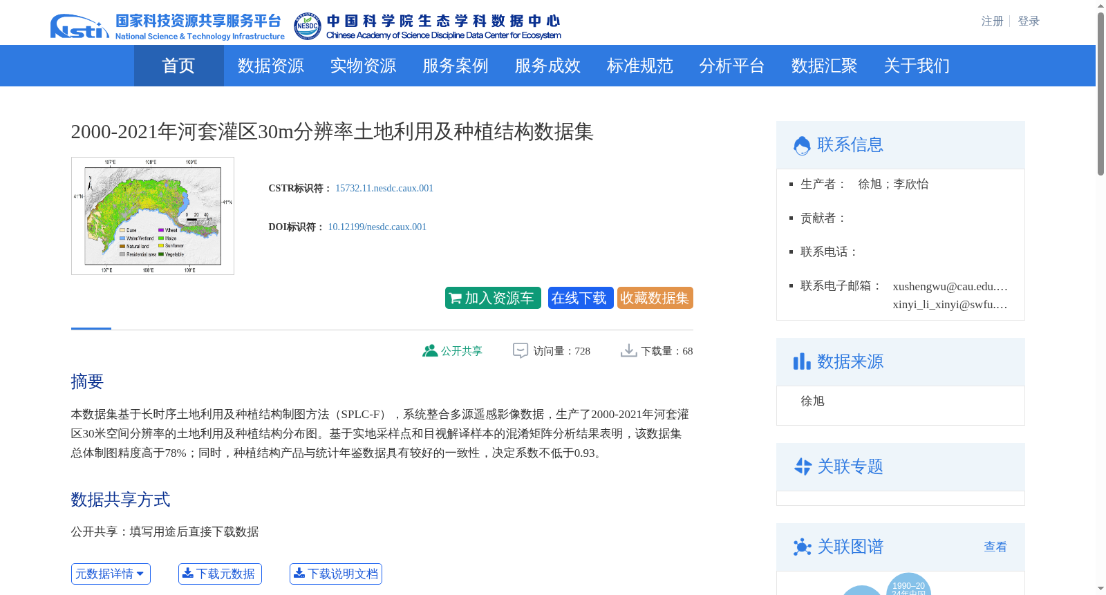
本数据集基于长时序土地利用及种植结构制图方法(SPLC-F),系统整合多源遥感影像数据,生产了2000-2021年河套灌区30米空间分辨率的土地利用及种植结构分布图。基于实地采样点和目视解译样本的混淆矩阵分析结果表明,该数据集总体制图精度高于78%;同时,种植结构产品与统计年鉴数据具有较好的一致性,决定系数不低于0.93。
Based on the long-time series land use and cropping structure mapping method (SPLC-F), this dataset systematically integrated multi-source remote sensing image data to produce 30-meter spatial resolution land use and cropping structure distribution maps of the Hetao Irrigation District from 2000 to 2021. According to the confusion matrix analysis results derived from field sampling points and visual interpretation samples, the overall mapping accuracy of this dataset exceeds 78%. Meanwhile, the cropping structure product shows good consistency with statistical yearbook data, with a coefficient of determination no less than 0.93.
创建时间:
2025-02-22
搜集汇总
数据集介绍
背景与挑战
背景概述
本数据集提供了2000-2021年河套灌区30米空间分辨率的土地利用及种植结构分布图,基于多源遥感影像和SPLC-F方法生产,总体制图精度高于78%,且与统计年鉴数据一致性高(决定系数≥0.93),适用于生态学、农学和遥感技术等学科的研究。
以上内容由遇见数据集搜集并总结生成


