2019年一带一路1kmMODIS土地覆被数据
收藏资源简介:
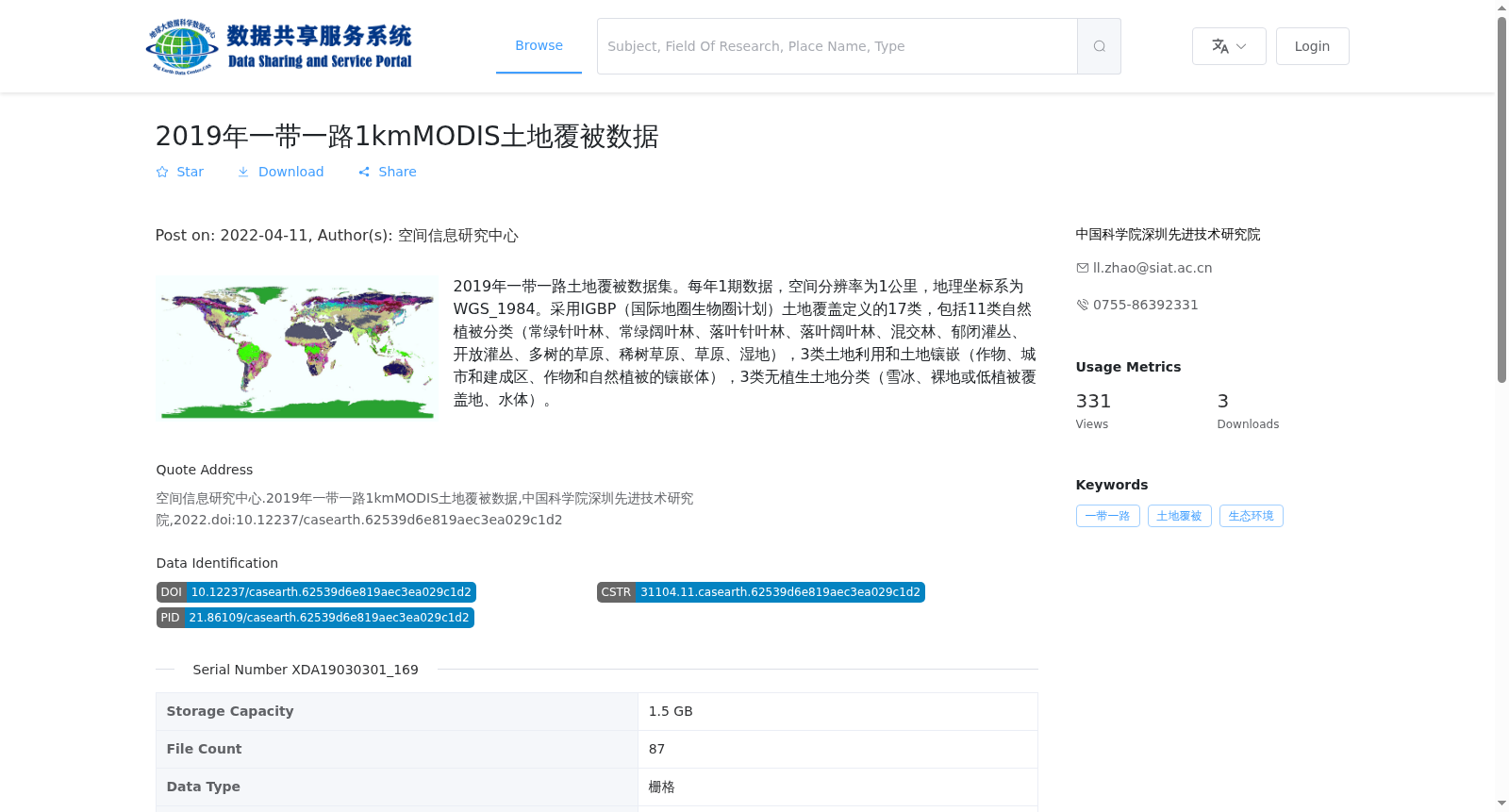
2019年一带一路土地覆被数据集。每年1期数据,空间分辨率为1公里,地理坐标系为WGS_1984。采用IGBP(国际地圈生物圈计划)土地覆盖定义的17类,包括11类自然植被分类(常绿针叶林、常绿阔叶林、落叶针叶林、落叶阔叶林、混交林、郁闭灌丛、开放灌丛、多树的草原、稀树草原、草原、湿地),3类土地利用和土地镶嵌(作物、城市和建成区、作物和自然植被的镶嵌体),3类无植生土地分类(雪冰、裸地或低植被覆盖地、水体)。
2019 Belt and Road Initiative (BRI) Land Cover Dataset. This dataset has one annual data release, with a spatial resolution of 1 km, and uses the WGS_1984 geographic coordinate system. It employs 17 land cover categories defined by the International Geosphere-Biosphere Programme (IGBP), which include 11 natural vegetation classes: evergreen needleleaf forest, evergreen broadleaf forest, deciduous needleleaf forest, deciduous broadleaf forest, mixed forest, closed shrublands, open shrublands, woody savannas, savannas, grasslands and wetlands; 3 land use and land mosaic classes: croplands, urban and built-up areas, and cropland/natural vegetation mosaics; and 3 non-vegetated land classes: snow and ice, bare or sparsely vegetated areas, and water bodies.