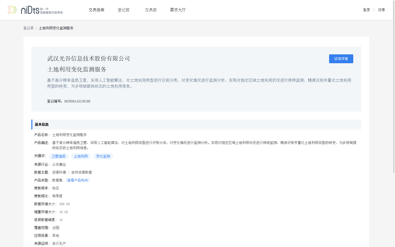
土地利用变化监测服务
收藏上海数据交易所2025-01-17 更新2026-03-21 收录
下载链接:
https://nidts.chinadep.com/reg-hall/product-detail?id=5634
下载链接
链接失效反馈官方服务:
资源简介:
基于高分辨率遥感卫星,采用人工智能算法,对土地利用类型进行识别分类,对变化情况进行监测分析。实现对指定区域土地利用状况进行持续监测,精准识别并量化土地利用类型的转变,为多领域提供动态的土地利用信息。
Using high-resolution remote sensing satellites and artificial intelligence algorithms, this dataset identifies and classifies land use types, and monitors and analyzes their dynamic changes. It enables continuous monitoring of the land use status of designated areas, accurately identifies and quantifies the transitions between different land use types, and provides dynamic land use information for multiple sectors.
提供机构:
武汉光谷信息技术股份有限公司
创建时间:
2025-01-17
搜集汇总
数据集介绍
背景与挑战
背景概述
该数据集基于高分辨率遥感卫星和人工智能算法,用于土地利用类型的识别分类和变化监测分析,覆盖全国范围,每季度更新一次,数据存储大小为500 GB。
以上内容由遇见数据集搜集并总结生成


